Aiguille des Sasses, mountain in Switzerland
Location: Entremont District
Elevation above the sea: 2,973 m
GPS coordinates: 45.85929,7.11800
Latest update: November 16, 2025 07:41
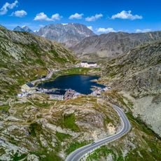
Great St Bernard Pass
4.2 km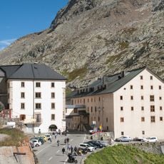
Great St Bernard Hospice
4.2 km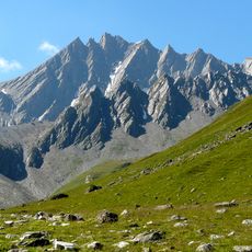
Grand Golliat
1.3 km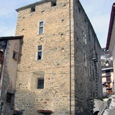
Castello di Bosses
6.3 km
Monts Telliers
4.8 km
Bivouac Comino
6.2 km
Mont Mort
4.7 km
Pointe de Drône
3.8 km
Mont Fourchon
1.5 km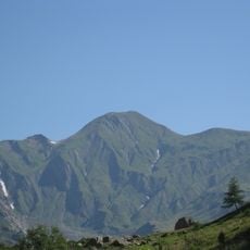
Tête de Ferret
5.1 km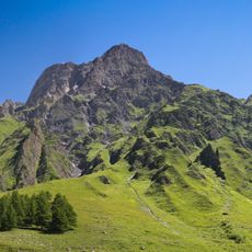
La Tsavre
6.3 km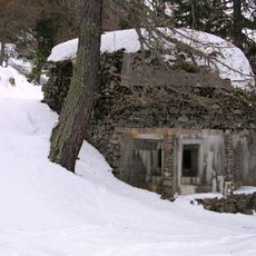
Sbarramento di San Remigio
5.3 km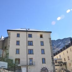
Museum of the Great Saint Bernard Hospice with treasure
4.2 km
Archives of the congregation of the Grand-St-Bernard
4.2 km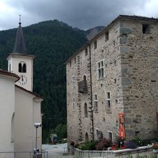
Castello di Bosses
6.3 km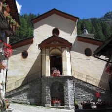
Chiesa di San Remigio
5.8 km
Pointe de Combette
2.5 km
Ambienti d'alta quota del Colle del Gran San Bernardo
2.4 km
Pointe des Trois Lacs
3.9 km
La Dotse
4.6 km
Dent du Grand Lé
5.6 km
Tête de Fonteinte
3.1 km
Library of the hospice of the Great St. Bernard
4.2 km
Grand Col Ferret
4.5 km
Scenic viewpoint
3.8 km
Waterfall
3.2 km
Waterfall
3.3 km
Waterfall
5.8 kmReviews
Visited this place? Tap the stars to rate it and share your experience / photos with the community! Try now! You can cancel it anytime.
Discover hidden gems everywhere you go!
From secret cafés to breathtaking viewpoints, skip the crowded tourist spots and find places that match your style. Our app makes it easy with voice search, smart filtering, route optimization, and insider tips from travelers worldwide. Download now for the complete mobile experience.

A unique approach to discovering new places❞
— Le Figaro
All the places worth exploring❞
— France Info
A tailor-made excursion in just a few clicks❞
— 20 Minutes