Lípa u sv. Ludmily v městském lese, memorable tree in Strakonice District, Czech Republic
Location: Volyně
Height: 30 m
GPS coordinates: 49.17856,13.86842
Latest update: November 12, 2025 03:19
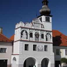
Town hall in Volyně
1.9 km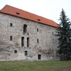
Fortress in Volyně
1.8 km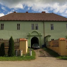
Nihošovice
1.3 km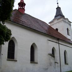
Church of All Saints in Volyně
1.8 km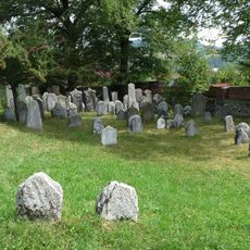
Jewish cemetery in Volyně
1.5 km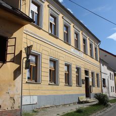
Evangelical church (Volyně)
1.8 km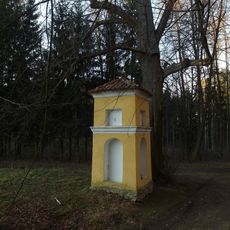
Chapel of Saint Ludmila
3 m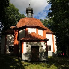
Chapel of Saint Anthony of Padua
1.2 km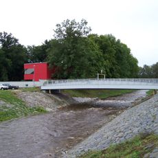
Most Zámecká - Slovenská přes Volyňku ve Volyni
1.7 km
Evangelical church (Volyně)
1.8 km
Mistra Martina 150
1.7 km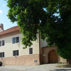
Deanery in Volyně
1.8 km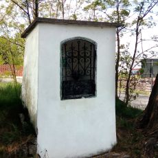
Kaplička u Malsičky
1.9 km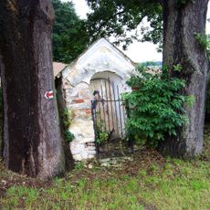
Chapel of Saint John of Nepomuk on the way to Valšička
1.5 km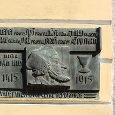
Pamětní deska Jana Husa ve Volyni
1.8 km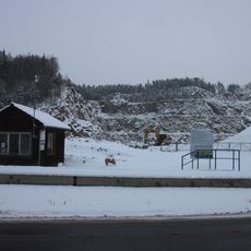
Nihošovice Quarry
1.3 km
Lípa u školy v přírodě
1.1 km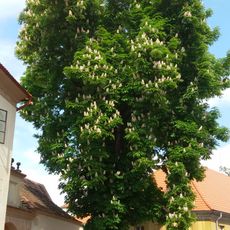
Jírovec u fary
1.8 km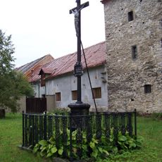
Kříž u tvrze ve Volyni
1.8 km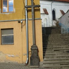
Kříž v Lidické ulici ve Volyni
1.8 km
Wayside cross, Christianity
1.5 km
Christianity, Catholic church building, wayside cross
1 km
Christianity, wayside shrine
1.5 km
Wayside shrine, Christianity
1.5 km
Wayside cross, Christianity
1.5 km
Wayside cross, Christianity
1.5 km
Wayside shrine, Christianity
1.8 km
Christianity, wayside shrine
994 mReviews
Visited this place? Tap the stars to rate it and share your experience / photos with the community! Try now! You can cancel it anytime.
Discover hidden gems everywhere you go!
From secret cafés to breathtaking viewpoints, skip the crowded tourist spots and find places that match your style. Our app makes it easy with voice search, smart filtering, route optimization, and insider tips from travelers worldwide. Download now for the complete mobile experience.

A unique approach to discovering new places❞
— Le Figaro
All the places worth exploring❞
— France Info
A tailor-made excursion in just a few clicks❞
— 20 Minutes