Clearwater National Forest, National Forest in Idaho, United States.
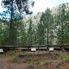
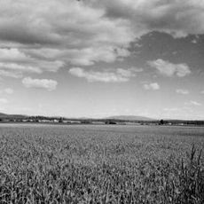
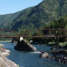
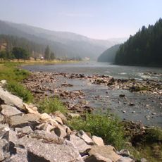
Clearwater National Forest covers about 2 million acres in north-central Idaho, bordered by Montana to the east and the Idaho Panhandle National Forest to the north. The Lochsa and North Fork Clearwater rivers run through it, and part of the Selway-Bitterroot Wilderness lies within its boundaries. The forest spans Idaho, Clearwater and Shoshone counties.
The forest was established in 1908 as a protected area for natural resources, created from portions of earlier forest reserves. This creation reflected a national effort to conserve forest lands from overuse and degradation.
The forest headquarters sit on the Nez Perce Reservation at Kamiah, and the Nez Perce National Forest borders it to the south and west. Lewis and Clark crossed the region westward in 1804–1805; at Lolo Pass on the forest's eastern edge, William Clark wrote on September 15, 1805, that he could see high rugged mountains in every direction.
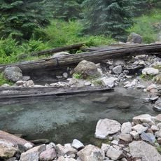
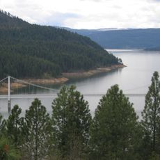
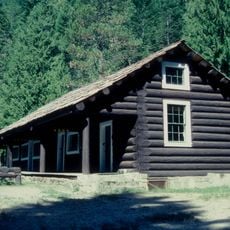
The North Fork Ranger Station & Visitor Center in Orofino supplies information on the Clearwater and Nez Perce National Forests, Dworshak Dam and Dworshak Reservoir, nine miles northwest of town. Local ranger district offices are in Kooskia, Powell on the Idaho-Montana line, Orofino and Potlatch. Jerry Johnson and Weir Creek hot springs are reached by trails from U.S. Highway 12.
The Powell Complex fire crew cut costs by about 1,300 percent during the 1994 fire season, when 301 fires burned in Clearwater National Forest. Projected spending of roughly $14.5 million fell to about $1.2 million while the crew handled more fires than any other unit assigned to the forest, covering around 6,000 hectares.
The community of curious travelers
AroundUs brings together thousands of curated places, local tips, and hidden gems, enriched daily by 94,579 contributors worldwide.