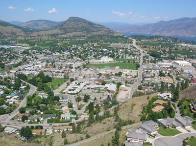
Summerland, town in British Columbia, Canada
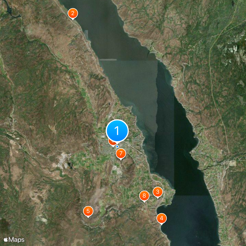
Location: Regional District of Okanagan-Similkameen
Inception: 1902
Elevation above the sea: 454 m
Website: https://www.summerland.ca/
Website: https://summerland.ca
GPS coordinates: 49.60056,-119.67778
Latest update: May 27, 2025 10:04
Canadian Hydrogen Intensity Mapping Experiment
31.3 km
William R. Bennett Bridge
33.3 km
Kettle Valley Rail Trail
34.8 km
Prospera Place
35.1 km
Dominion Radio Astrophysical Observatory
31.4 km
Mount Boucherie
29.3 km
Okanagan Lake Bridge
33.3 km
South Okanagan Events Centre
12.8 km
Sicamous
12 km
Bear Creek Provincial Park
38.4 km
Bromley Rock Provincial Park
47 km
Naramata
12 km
Blasted Church Vineyards
25.2 km
Myra-Bellevue Provincial Park
29.4 km
Okanagan Lake Provincial Park
9.8 km
Keremeos Columns Provincial Park
39.9 km
Stemwinder Provincial Park
41.9 km
Skye at Waterscapes
35.4 km
Canadian National Tug no. 6
11.9 km
Darke Lake Provincial Park
20.1 km
Nickel Plate Provincial Park
29.3 km
Trepanier Provincial Park
37.3 km
Browne Lake Provincial Park
42.6 km
Vaseux Lake Provincial Park
35 km
Inkaneep Provincial Park
42.8 km
Okanagan Heritage Museum
34.6 km
B.C. Growers Packing House
35 km
Kasugai Gardens
34.6 kmReviews
Visited this place? Tap the stars to rate it and share your experience / photos with the community! Try now! You can cancel it anytime.
Discover hidden gems everywhere you go!
From secret cafés to breathtaking viewpoints, skip the crowded tourist spots and find places that match your style. Our app makes it easy with voice search, smart filtering, route optimization, and insider tips from travelers worldwide. Download now for the complete mobile experience.
A unique approach to discovering new places❞
— Le Figaro
All the places worth exploring❞
— France Info
A tailor-made excursion in just a few clicks❞
— 20 Minutes