
The Coal Banks, cliff in Flathead County, Montana, United States of America
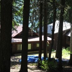
Kelly's Camp Historic District
23.5 km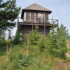
Apgar Fire Lookout
23.1 km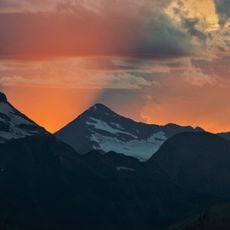
Rainbow Glacier
23.5 km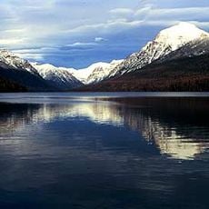
Rainbow Peak
23.2 km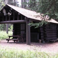
Bowman Lake Patrol Cabin
16 km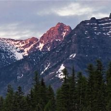
Anaconda Peak
19.7 km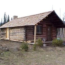
McCarthy Homestead Cabin
16.1 km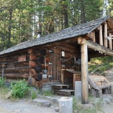
Quartz Lake Patrol Cabin
16.3 km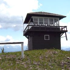
Huckleberry Fire Lookout
10.8 km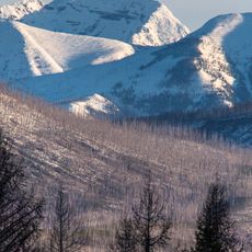
Longfellow Peak
21 km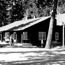
Polebridge Ranger Station Historic District
12.2 km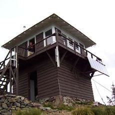
Numa Ridge Fire Lookout
22.3 km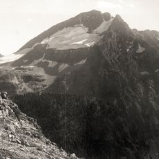
Two Ocean Glacier
22 km
W.L. Adair General Mercantile Historic District
10.2 km
Polebridge to Numa Ridge Phoneline
16.6 km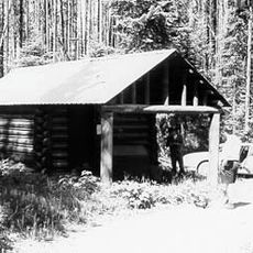
Ford Creek Patrol Cabin
23.9 km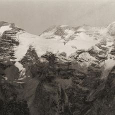
Vulture Glacier
21 km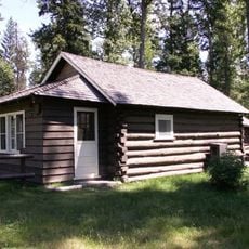
Logging Creek Ranger Station Historic District
1.9 km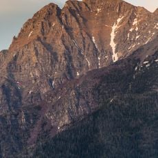
Vulture Peak
21.8 km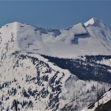
Mount Geduhn
21.6 km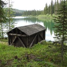
Lower Logging Lake Snowshoe Cabin and Boathouse
8.6 km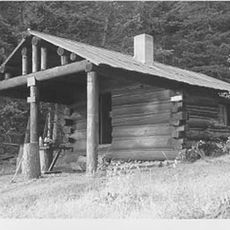
Upper Logging Lake Snowshoe Cabin
17.1 km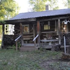
Vance Lodge
12 km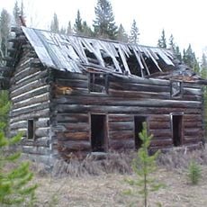
J.K. Miller Homestead
19.1 km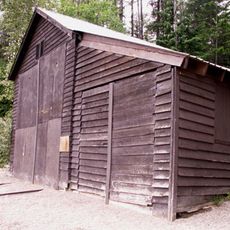
Fish Creek Bay Boathouse
22.4 km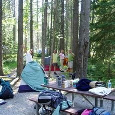
Apgar Campground
24.3 km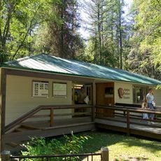
Apgar Visitor Center
24.2 km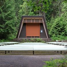
Fish Creek Campground Amphitheater
22.4 kmReviews
Visited this place? Tap the stars to rate it and share your experience / photos with the community! Try now! You can cancel it anytime.
Discover hidden gems everywhere you go!
From secret cafés to breathtaking viewpoints, skip the crowded tourist spots and find places that match your style. Our app makes it easy with voice search, smart filtering, route optimization, and insider tips from travelers worldwide. Download now for the complete mobile experience.

A unique approach to discovering new places❞
— Le Figaro
All the places worth exploring❞
— France Info
A tailor-made excursion in just a few clicks❞
— 20 Minutes