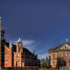
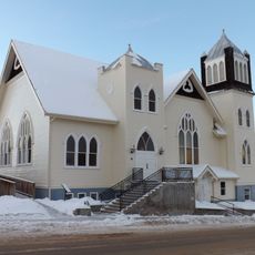
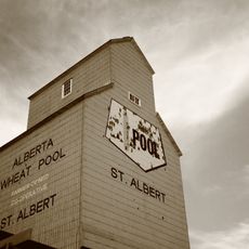
Geography of Alberta, Physical features of the Canadian province
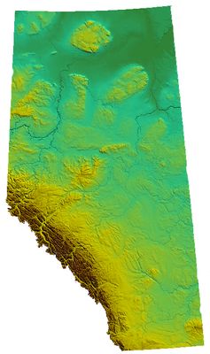
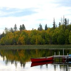
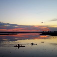
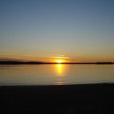
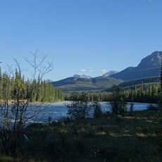
The geography of Alberta comprises a diverse landscape that spans from the snow-capped Rocky Mountains in the west to flat prairie plains extending eastward. The province is crossed by the powerful Saskatchewan River and contains forests, lakes, and glacial formations shaped by ice age processes.
Alberta was established as a province in 1905 and takes its name from Queen Victoria of Great Britain. The landscape formations were shaped over millions of years through tectonic activity and repeated ice ages.
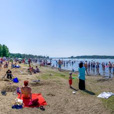
The region is vast and requires time to explore, so it helps to focus on specific areas such as the Rockies or prairie regions. Different weather conditions depending on the season and terrain affect when and how best to experience these landscapes.
Alberta contains the largest concentration of glaciers outside the polar regions in North America. This abundance of ice and snow formations creates rare alpine habitats found at lower latitudes elsewhere.
The community of curious travelers
AroundUs brings together thousands of curated places, local tips, and hidden gems, enriched daily by 60,000 contributors worldwide.