Enable Location

We need your location to show you interesting places around you

Discover nearby places

Find interesting locations and hidden gems around you

Precise directions

Get accurate directions and distances to places

Your location is never shared with other users. It's only used when you tap the location button.

Pawnee County

Log in to your account

Start exploring — it's free

Trusted by 62,834 travelers worldwide

Continue with Google
Continue with Apple
or

We will send you a code to connect

By continuing, you accept our Terms and Conditions and our Privacy Policy

Check your inbox

We've sent a pincode in your inbox. Please enter the code below.

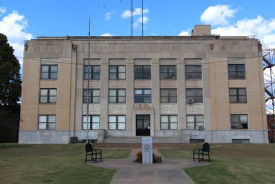
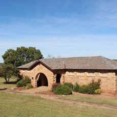
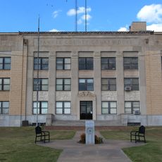
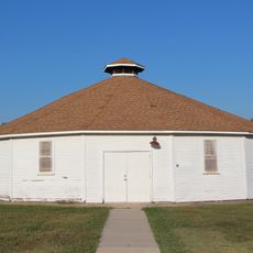
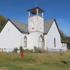
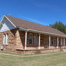
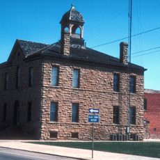
Pawnee County, Administrative county in northern Oklahoma, United States.

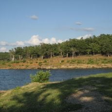
Pawnee County is an administrative division in northern Oklahoma featuring the Arkansas and Cimarron rivers along with Black Bear Creek tributaries. The landscape includes rolling terrain shaped by these waterways.

The county was established in 1894 following the Cherokee Outlet land opening. This creation followed the relocation of the Pawnee tribe from further west and marked a turning point in how the region developed.

The county name honors the Pawnee tribe who relocated here from Nebraska. This naming reflects the presence of Native American history that shaped the region.

The county borders reach to Osage County to the north, Tulsa County to the east, Creek and Payne Counties to the south, and Noble County to the west. These boundaries help orient visitors navigating through the region.

The region experienced a strong earthquake measuring 5.8 in magnitude near the city of Pawnee in 2016. This event was among the strongest ever recorded in Oklahoma.

The community of curious travelers

AroundUs brings together thousands of curated places, local tips, and hidden gems, enriched daily by 60,000 contributors worldwide.

Start exploring
Location
Inception
1893
Capital city
Pawnee
Shares border with
Osage County, Creek County, Payne County, Tulsa County, Noble County
GPS coordinates
36.31000,-96.70000
Latest update
December 7, 2025 20:48
Around this place
Boone Pickens Stadium
United States of America

Boone Pickens Stadium

38.8 km
National Wrestling Hall of Fame and Museum
United States of America

National Wrestling Hall of Fame and Museum

38.5 km
Fred and Adeline Drummond House
United States of America

Fred and Adeline Drummond House

29.9 km
Jim Thorpe House
United States of America

Jim Thorpe House

24 km
Pawnee Bill Ranch
United States of America

Pawnee Bill Ranch

10.2 km
Keystone State Park
United States of America

Keystone State Park

43.1 km
Mullendore Mansion
United States of America

Mullendore Mansion

21.5 km
Pawnee Agency and Boarding School Historic District
United States of America

Pawnee Agency and Boarding School Historic District

8.6 km
Stillwater Santa Fe Depot
United States of America

Stillwater Santa Fe Depot

38.8 km
Morrill Hall
United States of America

Morrill Hall

39 km
Cottonwood Community Center
United States of America

Cottonwood Community Center

38.5 km
Bank of Hominy
United States of America

Bank of Hominy

29.8 km
Pawnee Municipal Swimming Pool and Bathhouse
United States of America

Pawnee Municipal Swimming Pool and Bathhouse

10.7 km
United States of America

First United Methodist Church of Drumright

36.8 km
Pawnee County Courthouse
United States of America

Pawnee County Courthouse

9.7 km
Hominy School
United States of America

Hominy School

30.1 km
Marland Filling Station
United States of America

Marland Filling Station

30 km
Hominy Armory
United States of America

Hominy Armory

29.8 km
Pawnee Armory
United States of America

Pawnee Armory

8.9 km
Walker Building
United States of America

Walker Building

38.9 km
Hominy Osage Round House
United States of America

Hominy Osage Round House

30.4 km
United States of America

Blackburn Methodist Church

11.7 km
Morrison Baptist Church
United States of America

Morrison Baptist Church

27.6 km
Pawnee Indian Agency
United States of America

Pawnee Indian Agency

8.6 km
City Hall
United States of America

City Hall

50.8 km
Pawnee Bill Ranch and Museum
United States of America

Pawnee Bill Ranch and Museum

10.7 km
Wrestling Hall of Fame
United States of America

Wrestling Hall of Fame

38.5 km
Drummond House
United States of America

Drummond House

29.9 km
Show the full map
Administrative divisions
« Pawnee County - Administrative county in northern Oklahoma, United States » is provided by Around Us (aroundus.com). Images and texts are derived from Wikimedia project under a Creative Commons license. You are allowed to copy, distribute, and modify copies of this page, under the conditions set by the license, as long as this note is clearly visible.

Discover hidden gems everywhere you go!

From secret cafés to breathtaking viewpoints, skip the crowded tourist spots and find places that match your style. Our app makes it easy with voice search, smart filtering, route optimization, and insider tips from travelers worldwide. Download now for the complete mobile experience.

Around Us App Screenshot

A unique approach to discovering new places

Le Figaro

All the places worth exploring

France Info

A tailor-made excursion in just a few clicks

20 Minutes

Around Us
Travel Guide & Maps
Download

Send to your phone

QR Code
1

Open the camera app on your mobile.

2

Point at the QR code with your camera. A notification will appear.

3

Tap the notification to open the link.