Bhutan–India border, International border between Bhutan and India at South-Central Asia.
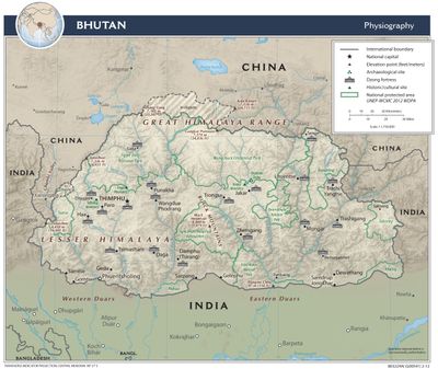
The Bhutan-India border is a land boundary in South-Central Asia extending nearly 700 kilometers through four Indian states: Assam, Arunachal Pradesh, West Bengal, and Sikkim. It runs mostly through mountainous and forested terrain following the Himalayan foothills.
The Treaty of Sinchula in 1865 established the current border line after the Bhutan War. This led Bhutan to permanently cede parts of the Bengal and Assam Duars to India.
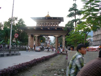
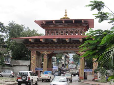
The border zone allows contact between Buddhist communities from Bhutan and Indian populations through established checkpoints like Jaigaon-Phuntsholing and Darranga. People on both sides share similar ways of living and traditions that remain visible through daily border crossings.
Authentic border crossings like Phuntsholing and Darranga are the main entry points for travelers between the two countries. Visitors should expect border checks and carry valid travel documents for both nations.
Several rivers including Torsa, Wong, Sankosh, and Manas cross the border from Bhutan into India, supporting agriculture in the Duars Plain. These waterways form natural boundaries while shaping economic activity across the region.
The community of curious travelers
AroundUs brings together thousands of curated places, local tips, and hidden gems, enriched daily by 60,000 contributors worldwide.