Bhutan, Himalayan kingdom between India and China, Asia
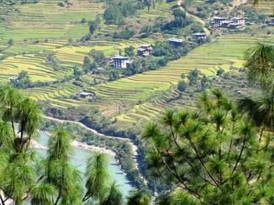
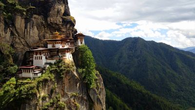
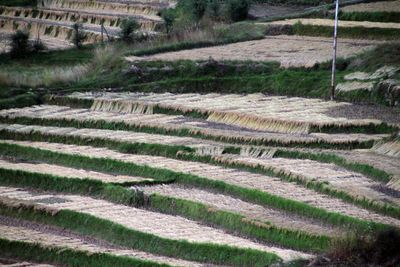
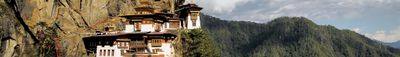
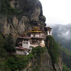
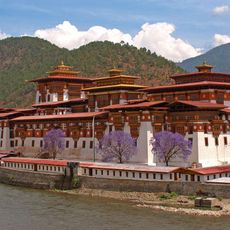
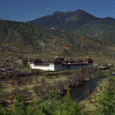
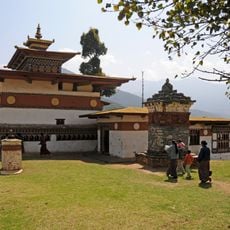
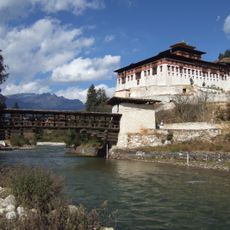
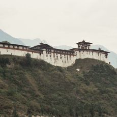
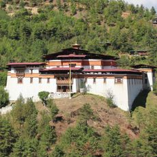
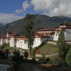
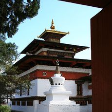
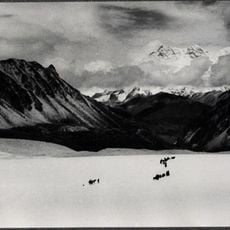
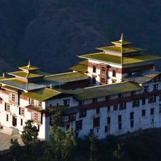
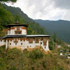
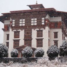
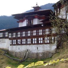
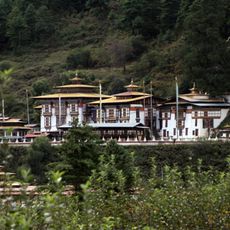
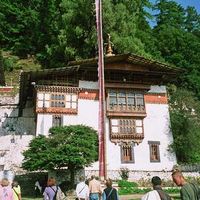
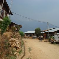
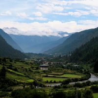
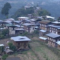
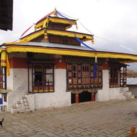
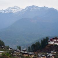
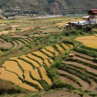
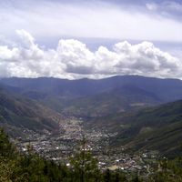
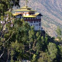
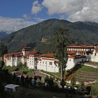
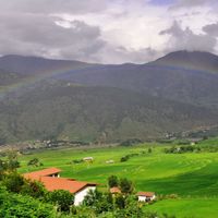
Bhutan stretches across roughly 38,400 square kilometers along the eastern Himalayan slopes between India and China, with dense forests covering about 70 percent of the territory. Swift rivers run southward through valleys where communities settle, while dzongs—fortified monastery complexes made of wood and stone—rise on prominent hills, serving both administrative and religious purposes.
Separate valley states existed until 1616 when Ngawang Namgyal brought them together under theocratic rule. The hereditary monarchy began in 1907 with Ugyen Wangchuck as first king, while constitutional reforms in 2008 introduced parliamentary democracy alongside the throne.
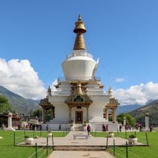
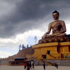
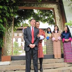
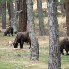
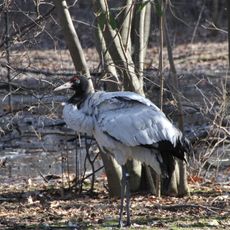
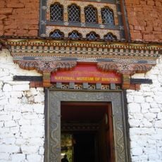
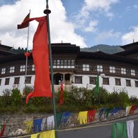
Buddhism shapes everyday routines through prayer flags, monastic schooling, and the mindful protection of forests and wildlife. Citizens wear national dress in offices and during ceremonies, while archery takes center stage at festivals and neighborhood events as the country's favorite sport.
International visitors must book trips through licensed operators and pay a sustainable development fee, with Paro Airport providing the sole air entry. Dry seasons from March to May and September to November offer favorable conditions, while altitude precautions apply in higher regions.
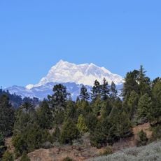
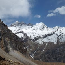
Constitutional law requires keeping at least 60 percent forest cover permanently, while tobacco sales remain banned nationwide. Climbing mountains above 6,000 meters is forbidden out of respect for sacred peaks considered homes of protective spirits.
The community of curious travelers
AroundUs brings together thousands of curated places, local tips, and hidden gems, enriched daily by 60,000 contributors worldwide.