Paro District, Administrative district in western Bhutan.
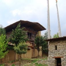
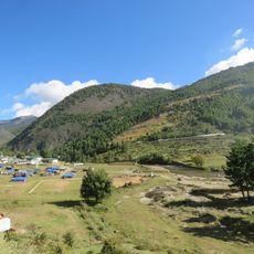
Paro District is an administrative region in western Bhutan, set in a Himalayan valley at around 2,250 meters above sea level. It is divided into ten rural administrative units called gewogs, covering a landscape of mountains, river valleys, monasteries, and fortresses.
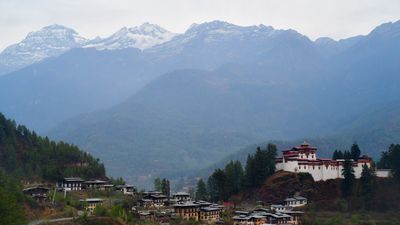
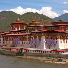
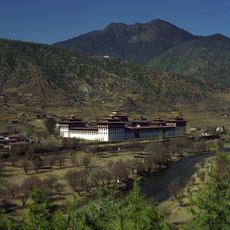
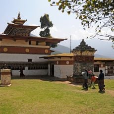
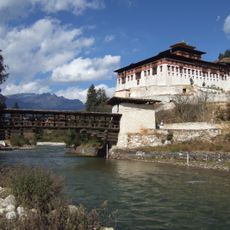
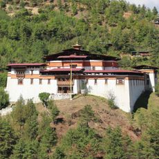
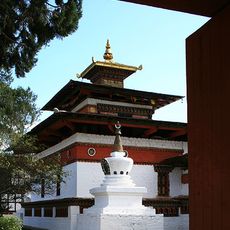
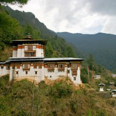
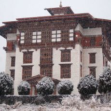
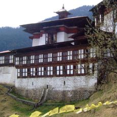
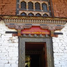
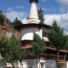
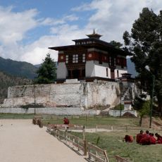
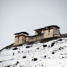
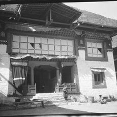
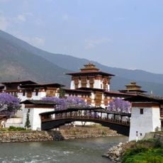
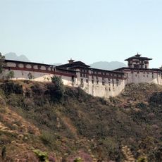
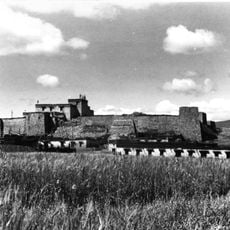
The area around Paro has been a center of religious and political life in Bhutan for centuries, with structures like the Rinpung Dzong and Taktsang Monastery built during the 17th century. Over time, the valley grew into one of the most important areas in the country, tied to both royal history and Buddhist practice.
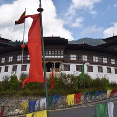
The Paro Tsechu festival each spring brings people from across the region together to watch traditional masked dances and religious ceremonies held in local monasteries. The event shows how deeply Buddhist traditions shape everyday life here.
Paro International Airport is the only airport in Bhutan and the main entry point for visitors arriving by air. The surrounding mountains can make the approach tricky, and travelers should expect the journey from the airport into the valley to take some time along winding roads.
Paro's airport is one of the few in the world where only a small number of specially certified pilots are allowed to land, due to the sharp peaks surrounding the runway. The red rice grown on the terraced fields around the valley is a variety found in very few places outside Bhutan.
The community of curious travelers
AroundUs brings together thousands of curated places, local tips, and hidden gems, enriched daily by 60,000 contributors worldwide.