
San Cayetano, Colombian municipality of the department of Cundinamarca
Location: Cundinamarca Department
Elevation above the sea: 2,306 m
Website: http://sancayetano-cundinamarca.gov.co
GPS coordinates: 5.33222,-74.02556
Latest update: November 12, 2025 07:14

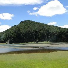
Embalse del Neusa
20.8 km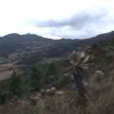
Páramo de Guerrero
17.3 km
Basílica del Santo Cristo de Ubaté
23.5 km
Checua
28.8 km
Lac del Neusa
21.2 km
Transversal #4 Stairway
33.8 km
La bruja de la Caco
33.8 km
Pictograma muisca
24.4 km
Parque Central
30.7 km
Satue of Sacred Heart Jesus Christ
25.9 km
Las lajas
7.7 km
Posadas Campesinas Pinipay
8.5 km
El mandarino
9.5 km
Desierto de Tatacoita
28.3 km
Parque los Agataes
27.4 km
Concha acústica
30.8 km
Pictograma muisca
24.3 km
Laguna del encanto
36.9 km
Medio pollo
36.4 km
Work of art
22.8 km
Work of art, bust
30.8 km
Mirador
29.7 km
Scenic viewpoint
27.8 km
Scenic viewpoint
27.8 km
Scenic viewpoint
27.8 km
Laguna de Cucunubá
27.7 km
Capilla Santa Barbara
23.2 km
Chorro de Virginia
30 kmReviews
Visited this place? Tap the stars to rate it and share your experience / photos with the community! Try now! You can cancel it anytime.
Discover hidden gems everywhere you go!
From secret cafés to breathtaking viewpoints, skip the crowded tourist spots and find places that match your style. Our app makes it easy with voice search, smart filtering, route optimization, and insider tips from travelers worldwide. Download now for the complete mobile experience.

A unique approach to discovering new places❞
— Le Figaro
All the places worth exploring❞
— France Info
A tailor-made excursion in just a few clicks❞
— 20 Minutes