Páramo de Guerrero, Highland ecosystem in Cundinamarca, Colombia.
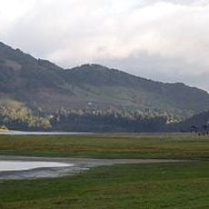
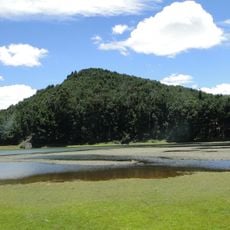
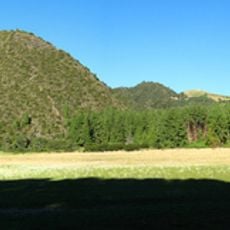
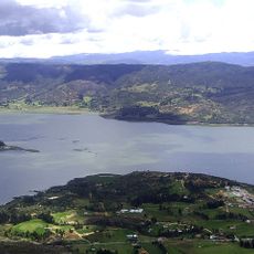
Páramo de Guerrero is a high-Andean forest system in the Eastern Cordillera of Cundinamarca, Colombia, north of Bogotá, between 3,200 and 3,780 meters above sea level. It covers about 39,240 hectares across the highlands of Carmen de Carupa, Tausa, Zipaquirá, Subachoque, Cogua, Pacho, San Cayetano and Susa, and includes the Socotá, Santuario and Colorado hills, the Napa, Alto, Guargua and Laguna Verde páramos, the La Mina and El Muchacho heights and the El Tablazo ridge.
The complex spans the high ground of eight Cundinamarca municipalities, among them Carmen de Carupa, Tausa, Zipaquirá, Subachoque, Cogua, Pacho, San Cayetano and Susa. An estimated 70.5% of its territory has been modified, mainly by farming and livestock. Its landforms include glacial valleys, moraines, peat bogs and marsh flats shaped by the Zipaquirá anticline and the Río Frío, Neusa and Carupa synclines.
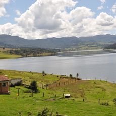
People living near the Páramo de Guerrero have long raised cattle and grown crops at this elevation, shaping the landscape over time. Walking through the area, visitors can spot fenced pastures, dirt paths worn by animals, and small rural farms along the slopes.
Weather at this elevation is often cold, wet, and foggy, so warm waterproof layers and sturdy boots are necessary before heading out. The ground is frequently muddy and uneven, making careful footing important throughout any walk.
The frailejones that cover much of this moorland grow just a few centimeters per year, meaning a plant that reaches a meter tall may be many decades old. Their thick, fuzzy leaves work like sponges, pulling moisture from passing clouds and storing it in the soil below.
The community of curious travelers
AroundUs brings together thousands of curated places, local tips, and hidden gems, enriched daily by 93,874 contributors worldwide.