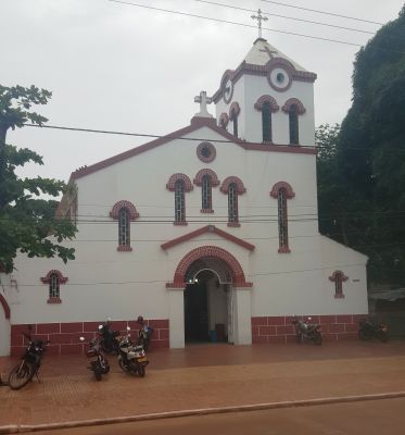
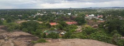
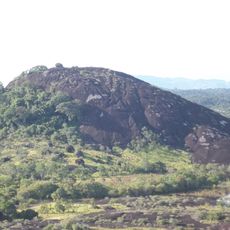
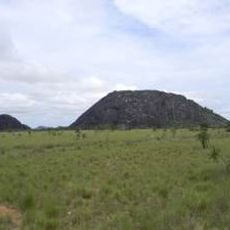
Puerto Carreño, River municipality in Vichada Department, Colombia.
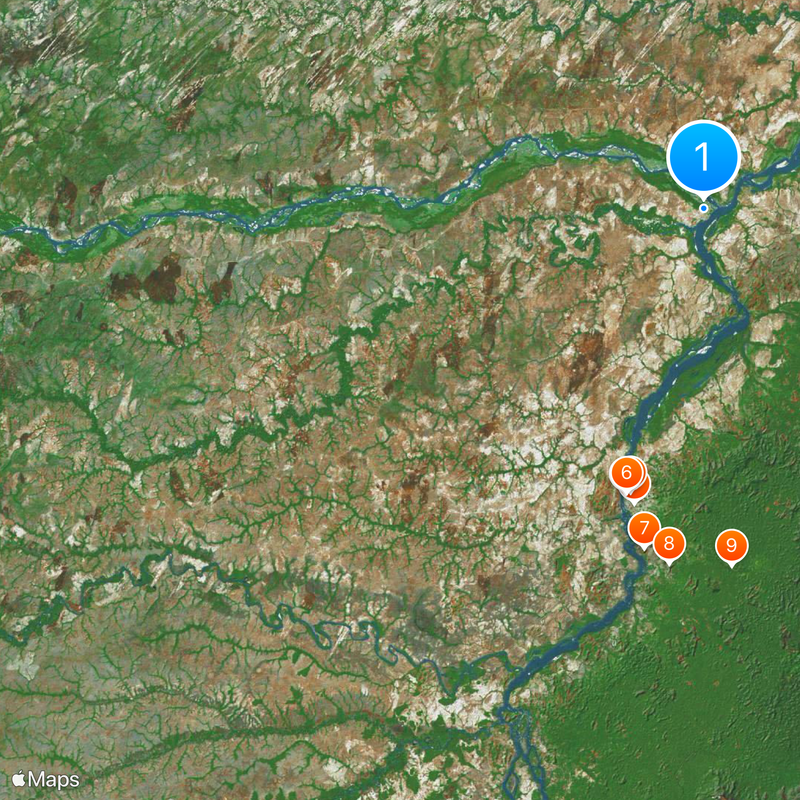
Puerto Carreño sits where the Meta and Orinoco rivers meet, with this junction marking the border between Colombia and Venezuela. The town spreads along these waterways in the far northeast of Vichada.
The settlement was founded in 1913 as El Picacho del Orinoco and renamed in 1934. The new name honored a former government official from the Ministry of Foreign Affairs.
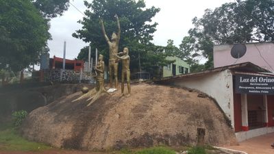
Indigenous groups live here and keep their traditional ways alive through crafts and daily customs. Their presence shapes how the community looks and feels today.
A local airport offers daily flights to major cities, making the remote location more accessible. The dry season is the better time to explore, as paths and areas are easier to navigate.
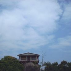
The town experiences one of the earliest sunrises in the Western Hemisphere, which is especially striking over the river confluence. This natural occurrence attracts visitors hoping to witness the special light at dawn.
Location: Vichada Department
Inception: July 16, 1930
Capital city: Puerto Carreño
Elevation above the sea: 51 m
Part of: Vichada Department
Shares border with: Venezuela
Website: https://puerto-carreno.com
GPS coordinates: 6.19031,-67.48374
Latest update: December 6, 2025 22:07
Santos Luzardo National Park
59.2 km
Cerro Autana
148.7 km
Aguaro-Guariquito National Park
248.4 km
Hato El Cedral
245.7 km
Yapacana National Park
289.5 km
Piedra La Tortuga Natural Monument
70.6 km
José Antonio Páez International Bridget
373.7 km
Casa sobre La Piedra
62 km
Hato El Frío
231.6 km
Yutaje Falls
157.2 km
Cathedral of Our Lady of Mount Carmel
189.5 km
Estadio Antonio José de Sucre
60 km
Galeras del Cinaruco
54.8 km
Cerro Yaví Natural Monument
182.7 km
El Socorro de Portuguesa
258.4 km
Cathedral of Mary Help of Christians, Puerto Ayacucho
60.4 km
Hato Masagüaral
265.3 km
Gran Hotel Amazonas
60.2 km
Cerros Camani y Morrocoy Natural Monument
162.6 km
Parú-Euaja Massif Natural Monument
289.4 km
Cuao-Sipapo y Moriche Massif Natural Monument
124.5 km
Monumento Natural Cerro Autana
148.7 km
Sipapo Forest Reserve
98.9 km
Parguaza Forest Reserve
47.5 km
Sierra Maigualida Natural Monument
241.6 km
Serranía Yutajé y Coro-coro Natural Monument
150.8 km
Piedra Pintada Natural Monument
73 km
Piedra La Tortuga
70.6 kmVisited this place? Tap the stars to rate it and share your experience / photos with the community! Try now! You can cancel it anytime.
Discover hidden gems everywhere you go!
From secret cafés to breathtaking viewpoints, skip the crowded tourist spots and find places that match your style. Our app makes it easy with voice search, smart filtering, route optimization, and insider tips from travelers worldwide. Download now for the complete mobile experience.
A unique approach to discovering new places❞
— Le Figaro
All the places worth exploring❞
— France Info
A tailor-made excursion in just a few clicks❞
— 20 Minutes