Enable Location

We need your location to show you interesting places around you

Discover nearby places

Find interesting locations and hidden gems around you

Precise directions

Get accurate directions and distances to places

Your location is never shared with other users. It's only used when you tap the location button.

Vichada Department

Log in to your account

Start exploring — it's free

Trusted by 62,616 travelers worldwide

Continue with Google
Continue with Apple
or

We will send you a code to connect

By continuing, you accept our Terms and Conditions and our Privacy Policy

Check your inbox

We've sent a pincode in your inbox. Please enter the code below.

Vichada Department, Administrative department in eastern Colombia.

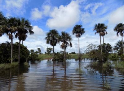
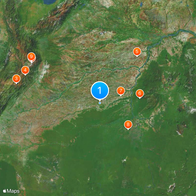
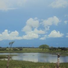
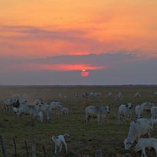
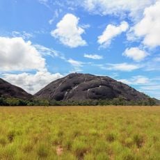
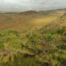
Vichada is an administrative department in eastern Colombia that extends from the Meta River to the Venezuelan border and consists mainly of open savanna. The landscape alternates between grasslands and gallery forests along waterways, interspersed with seasonal floodplains and scattered palm groves.

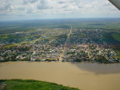
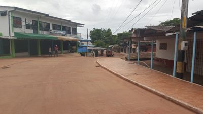
The territory was organized as a commissary in 1913 and gained departmental status in 1991 with Puerto Carreño as its capital. Settlement remained limited for a long time because distance from other parts of the country and lack of infrastructure made connection difficult.

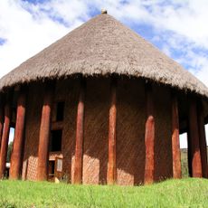
Several indigenous groups inhabit these remote areas and rely on rivers as lifelines for trade and communication between scattered settlements. Their way of life remains closely tied to the waterways and savanna landscapes that have been their home for centuries.

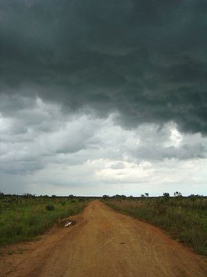
Access is mostly by plane or boat, as roads become impassable during the rainy season and large parts of the territory can only be reached by water. Travel should be planned for the dry season when overland routes and river passages are more navigable.

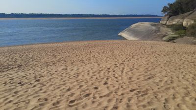
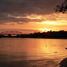
The border with Venezuela runs through the middle of the Orinoco, so the river's banks and islands are shared between both countries. Some communities on either side maintain family ties and use the river as a common space.

The community of curious travelers

AroundUs brings together thousands of curated places, local tips, and hidden gems, enriched daily by 60,000 contributors worldwide.

Start exploring
Location
Inception
July 4, 1991
Capital city
Puerto Carreño
Shares border with
Casanare Department, Arauca Department, Meta Department, Guaviare Department, Guainía Department, Apure, Bolívar, Amazonas
GPS coordinates
4.63333,-69.23333
Latest update
December 13, 2025 18:23
« Vichada Department - Administrative department in eastern Colombia » is provided by Around Us (aroundus.com). Images and texts are derived from Wikimedia project under a Creative Commons license. You are allowed to copy, distribute, and modify copies of this page, under the conditions set by the license, as long as this note is clearly visible.

Discover hidden gems everywhere you go!

From secret cafés to breathtaking viewpoints, skip the crowded tourist spots and find places that match your style. Our app makes it easy with voice search, smart filtering, route optimization, and insider tips from travelers worldwide. Download now for the complete mobile experience.

Around Us App Screenshot

A unique approach to discovering new places

Le Figaro

All the places worth exploring

France Info

A tailor-made excursion in just a few clicks

20 Minutes

Around Us
Travel Guide & Maps
Download

Send to your phone

QR Code
1

Open the camera app on your mobile.

2

Point at the QR code with your camera. A notification will appear.

3

Tap the notification to open the link.