Pisba National Natural Park, Protected mountain area in Boyacá, Colombia
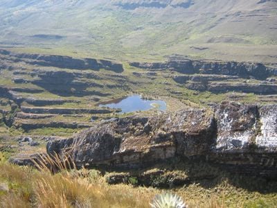
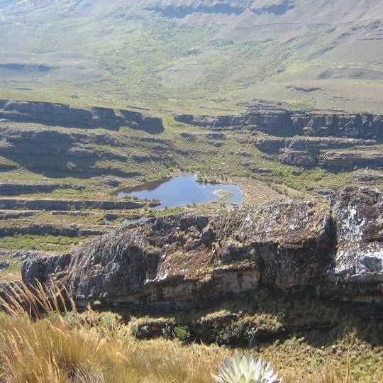
Pisba National Natural Park lies in the Cordillera Oriental of the Colombian Andes, inside Boyacá Department, near the municipalities of Pisba, Mongua, Tasco, Socha and Socotá. It protects Andean forests, cloud forests and páramo, and holds several glacial lakes. Its highest point reaches 3,800 meters. The Pauto, Tocaria and Cravo Sur rivers rise here, and the Chicomocha drains the western side.
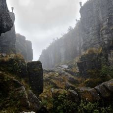
Francisco de Paula Santander crossed the pass with his troops in 1819 to join forces with Simón Bolívar further east. The difficult march through cold and fog cost many lives but helped secure victory against Spanish forces.
The park lies in the territory of the Tunebo, on the western side of the mountain, and the Lache, along the Chicamocha River to the east. A local legend tells of La Mancarita, a woman made of ice who lurks in the fog to lure men into it.
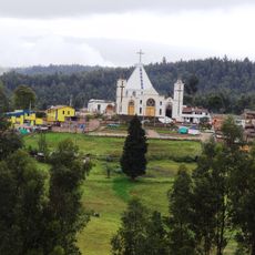
Access is via the municipalities of Socha, Tasco, Mongua, Socotá and Pisba in Boyacá. Rain falls from May to July on the eastern side, while July and August are dry in the west; the average temperature is 5 °C at the highest altitude and 16 °C at the lowest. The highest point reaches 3,800 meters.
Eleven frailejón species grow here, and six of them exist nowhere else on Earth. These endemic plants thrive only at these high elevations and survive the harsh páramo conditions.
The community of curious travelers
AroundUs brings together thousands of curated places, local tips, and hidden gems, enriched daily by 93,805 contributors worldwide.