Orinoco basin, Drainage basin between Venezuela and Colombia
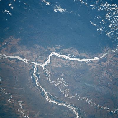
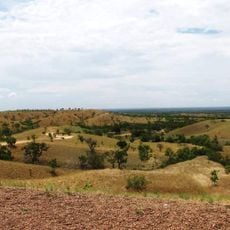
The Orinoco basin covers Venezuela and Colombia and includes wide plains, old massifs, raised mountain ranges, and tectonic depressions. It spans roughly 990,000 square kilometers (382,000 square miles) and drains large portions of both countries into the Atlantic.
The headwaters of the Orinoco were found in 1951 by a Venezuelan expedition led by Frank Risquez Iribarren, reaching Cerro Carlos Delgado Chalbaud. This discovery ended centuries of speculation about where the river begins.
The name Orinoco comes from the Warao language and means roughly "a place to paddle", referring to the many waterways that have always served as routes for travel and trade. Communities along the river still rely on boats for movement between settlements and for fishing in the slow-moving channels.
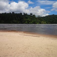
The river system is made up of roughly 200 major and 600 minor tributaries, spreading in a branching network across wide areas. Large parts of the plains flood during the rainy season, while water levels drop markedly during the dry months.
The Casiquiare canal links the Orinoco system naturally with the Amazon basin, creating an unusual connection between two of South America's largest river systems. This link allows direct water exchange between both drainage areas.
The community of curious travelers
AroundUs brings together thousands of curated places, local tips, and hidden gems, enriched daily by 60,000 contributors worldwide.