
Třtěnice, village in Jičín District of Hradec Králové region
Location: Jičín District
Location: Йичин
Elevation above the sea: 253 m
Shares border with: Podhorní Újezd a Vojice, Vrbice, Kovač, Butoves, Chomutice
Email: trtenice@tiscali.cz
Website: http://trtenice.cz
GPS coordinates: 50.37744,15.46921
Latest update: April 5, 2025 05:32
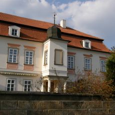
Sobčice Chateau
3.4 km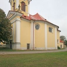
Church of Saint Dionysius
2.8 km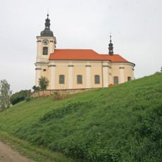
Church of Saints Peter and Paul
3 km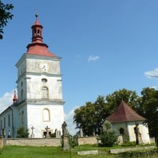
Saint Matthew church in Hradíšťko
3.9 km
Hluboký Kovač
1.4 km
Rybník Strašidlo
2.3 km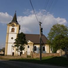
Church of Saint Procopius
3.4 km
Kovačská bažantnice
2.9 km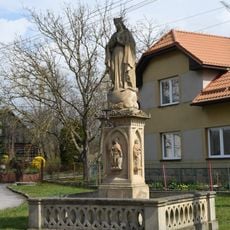
Statue of Virgin Mary in Vrbice
3 km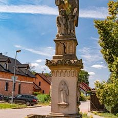
Socha
4.2 km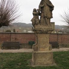
Socha svatého Jana Nepomuckého
2.8 km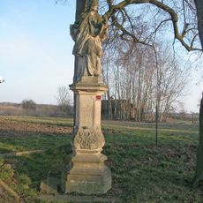
Socha svatého Jana Nepomuckého
3.4 km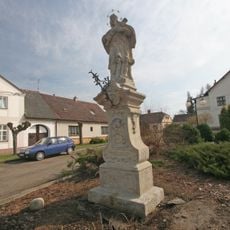
Socha svatého Jana Nepomuckého
4.7 km
Socha svatého Isidora
2 km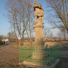
Sloup se sochou svatého Donáta
3.4 km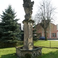
Sloup se sochou Anděla strážce
3.2 km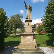
Statue of Jan Hus in Vojice
3.3 km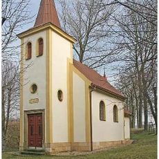
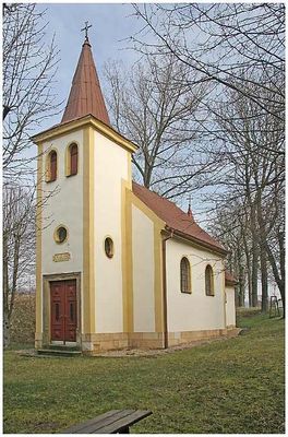
Chapel of Saint Anne
795 m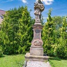
Socha svatého Jana Nepomuckého
4.2 km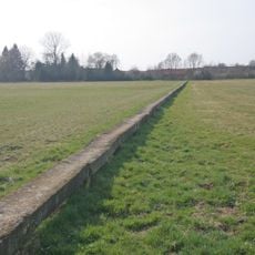
Stone footbridge in Vlhošť
4.6 km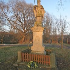
Sloup se sochou svatého Gotharda
2.6 km
Granary in Konecchlumí
3 km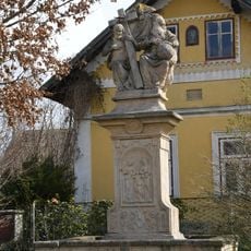
Statue of the Holy Trinity in Vrbice
3.1 km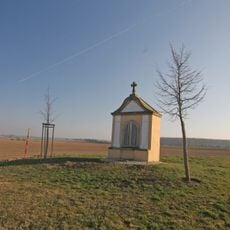
Chapel of Virgin Mary
2 km
Pomník Josefa Šimka
4.3 km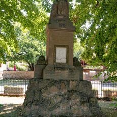
Pomník
2.7 km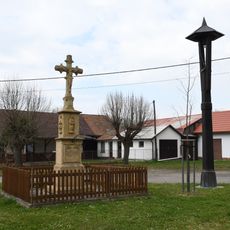
Kříž v Butovsi
3 km
Pomník
2.7 kmReviews
Visited this place? Tap the stars to rate it and share your experience / photos with the community! Try now! You can cancel it anytime.
Discover hidden gems everywhere you go!
From secret cafés to breathtaking viewpoints, skip the crowded tourist spots and find places that match your style. Our app makes it easy with voice search, smart filtering, route optimization, and insider tips from travelers worldwide. Download now for the complete mobile experience.

A unique approach to discovering new places❞
— Le Figaro
All the places worth exploring❞
— France Info
A tailor-made excursion in just a few clicks❞
— 20 Minutes