
Větřkovice, village in Opava District of Moravian Silesian region
Location: Opava District
Location: správní obvod obce s rozšířenou působností Vítkov
Elevation above the sea: 462 m
Shares border with: Radkov, Odry, Fulnek, Březová, Vítkov
Email: ou.vetrkovice@telecom.cz
Website: http://vetrkovice.cz
GPS coordinates: 49.78050,17.82050
Latest update: April 14, 2025 02:31

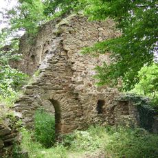
Vikštejn Castle
4.3 km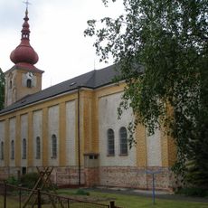
Saint Nicholas church
3.6 km
Úpravna vody Podhradí
4.9 km
Grave of Jan Zajíc
4.8 km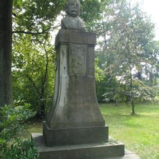
Památník Eduarda Schöna Engelsberga
4.6 km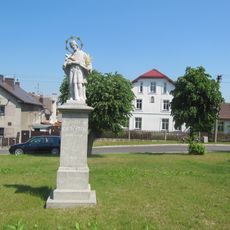
Socha svatého Jana Nepomuckého
3.5 km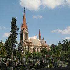
Parish church of the Assumption of the Virgin Mary
4.7 km
Kino
4.7 km
Pomník J. H. Pestalozziho
4.8 km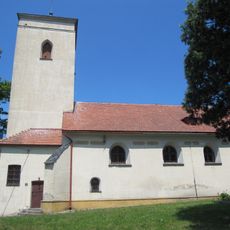
Cemetery church of the Assumption of Virgin Mary
4.9 km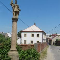
Socha svatého Floriána
5 km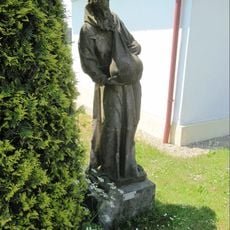
Socha svatého Felixe
2 km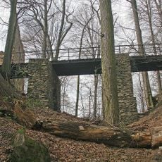
Entrance bridge of Vikštejn
4.4 km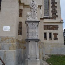
Statue of Saint Mark in Vítkov
4.7 km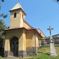
Kaple v Leskovci u Vítkova
5 km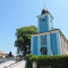
Church of the Assumption of the Virgin Mary
264 m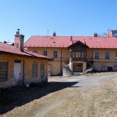
Former brewery in Vítkov
5 km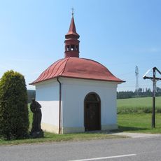
Chapel of Our Lady of Sorrows
2 km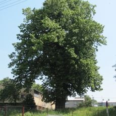
Lípa ve Vítkově
4.8 km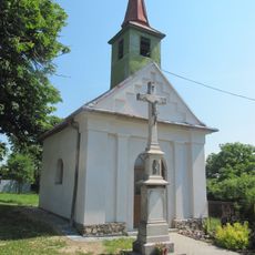
Chapel of the Assumption
2.5 km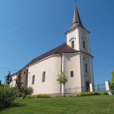
Church of Saint George
5.1 km
Castle Dubová
5.2 km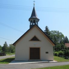
Chapel of the Holy Family
4.4 km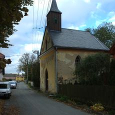
Kaple svatého Josefa
2.4 km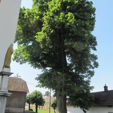
Lípa u kostela
3.5 km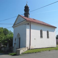
Chapel of Saint John of Nepomuk
3.9 km
Hospodářské objekty zámku Dubová
5.2 km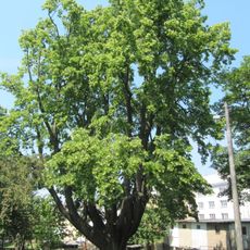
Vítkovská lípa
4.7 kmReviews
Visited this place? Tap the stars to rate it and share your experience / photos with the community! Try now! You can cancel it anytime.


Discover hidden gems everywhere you go!
From secret cafés to breathtaking viewpoints, skip the crowded tourist spots and find places that match your style. Our app makes it easy with voice search, smart filtering, route optimization, and insider tips from travelers worldwide. Download now for the complete mobile experience.

A unique approach to discovering new places❞
— Le Figaro
All the places worth exploring❞
— France Info
A tailor-made excursion in just a few clicks❞
— 20 Minutes