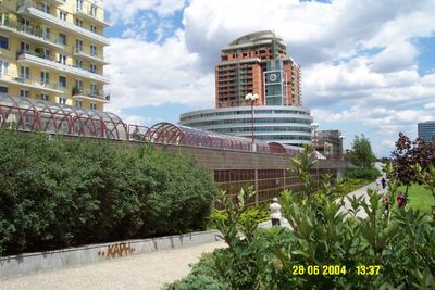
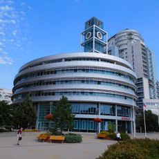
Prague 13, municipal part of Prague
Location: Prague 13
Inception: January 1, 1981
Elevation above the sea: 332 m
GPS coordinates: 50.05000,14.34444
Latest update: March 5, 2025 11:11
Church of Saint Procopius in Stodůlky
73 m
Komunitní centrum svatého Prokopa
73 m
Metronom Business Center
452 m
Dům Sluneční náměstí
79 m
Czech Photo Centre
349 m
Praha 13 town hall
40 m
Footprint
185 m
Socha svatého Jana Nepomuckého na rozcestí ulic Jeremiášova a Pod Hranicí
495 m
Night
135 m
Animal mosaic
180 m
Trifot
356 m
Výjezdová rampa terminálu Nové Butovice
551 m
Animal mosaic
191 m
Vesmírný pták
269 m
Mom and Dad
472 m
Four shells
496 m
Posedátko
491 m
Bridge of Bucharova street over Nové Butovice station
519 m
Pítko pod pergolou
139 m
Park gate above V hůrkách street
106 m
Pomník dukelským hrdinům
445 m
Závit
230 m
Pomník hrdinům z jinonického akcízu
435 m
Podjezd k P+R Nové Butovice
417 m
Lávka nad parkovištěm podél Seydlerovy ulice
276 m
Úřad městské části Praha 13
41 m
Lávka přes ulici V hůrkách u Seydlerovy ulice
113 m
Footbridge over V hůrkách street
93 mReviews
Visited this place? Tap the stars to rate it and share your experience / photos with the community! Try now! You can cancel it anytime.
Discover hidden gems everywhere you go!
From secret cafés to breathtaking viewpoints, skip the crowded tourist spots and find places that match your style. Our app makes it easy with voice search, smart filtering, route optimization, and insider tips from travelers worldwide. Download now for the complete mobile experience.
A unique approach to discovering new places❞
— Le Figaro
All the places worth exploring❞
— France Info
A tailor-made excursion in just a few clicks❞
— 20 Minutes