
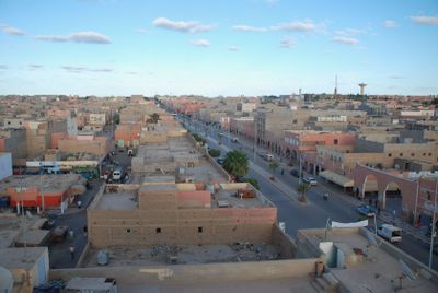
Smara, city in Western Sahara
Location: Es Semara Province
Inception: 1869
Elevation above the sea: 518 m
Part of: Western Sahara
GPS coordinates: 26.73944,-11.67028
Latest update: March 3, 2025 08:04
Santa Cruz de la Mar Pequeña
154.6 km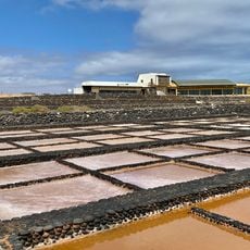
Museo de las Salinas del Carmen
282.8 km
Punta La Entallada Lighthouse
279.6 km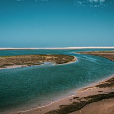
Khenifiss National Park
153.7 km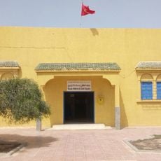
Antoine de Saint-Exupery Museum
182.7 km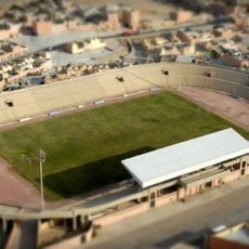
Stade Sheikh Mohamed Laghdaf
157.6 km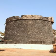
Castillo de Fuste
283.5 km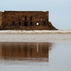
Casa del Mar
183.2 km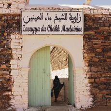
Zawya oF Cheikh ma el Ainine
984 m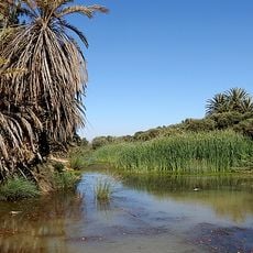
Tighmert oasis
244.8 km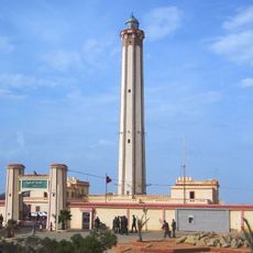
Boujdour lighthouse
288.9 km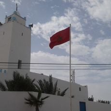
Terfaya's Old Mosque
182.8 km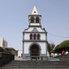
Iglesia de Nuestra Señora del Rosario
291.6 km
Puerto del Rosario Lighthouse
290.8 km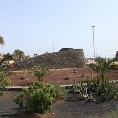
Hornos de cal de la Guirra
283.6 km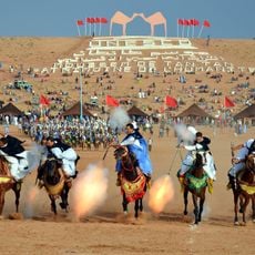
Tan-Tan Moussem
199.7 km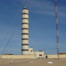
Faro de Cabo Cinq
252.3 km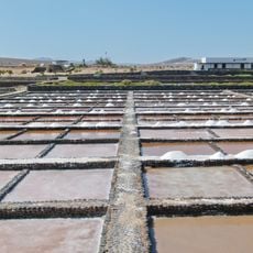
Salinas del Carmen
282.7 km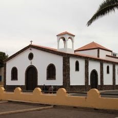
Iglesia de la Inmaculada Concepción
293.1 km
Siroco
291.9 km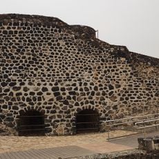
Los Hornos
291.4 km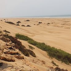
Plage Blanche
252.1 km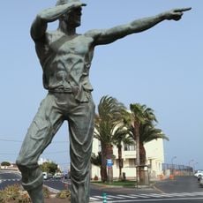
El Vigía (Emiliano G. Hernández)
291.3 km
Puerto del Rosario Port
291.2 km
Oued Zeraïb
134.8 km
La Lajita
293.1 km
Gran Tarajal
284 km
Castillo Caleta de Fuste
284.4 kmVisited this place? Tap the stars to rate it and share your experience / photos with the community! Try now! You can cancel it anytime.
Discover hidden gems everywhere you go!
From secret cafés to breathtaking viewpoints, skip the crowded tourist spots and find places that match your style. Our app makes it easy with voice search, smart filtering, route optimization, and insider tips from travelers worldwide. Download now for the complete mobile experience.

A unique approach to discovering new places❞
— Le Figaro
All the places worth exploring❞
— France Info
A tailor-made excursion in just a few clicks❞
— 20 Minutes