
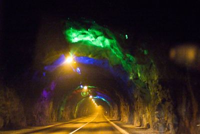
Norðoyatunnilin, tunnel on the Faroe Islands
Inception: December 18, 2003
Official opening: April 29, 2006
Height: 4.6 m
Length: 6,300 m
Website: http://tunnil.fo
GPS coordinates: 62.20450,-6.62790
Latest update: March 13, 2025 23:13
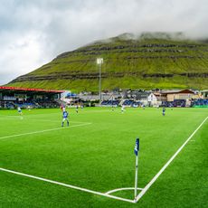
Djúpumýra Stadium
3.4 km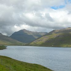
Skálafjørður
9 km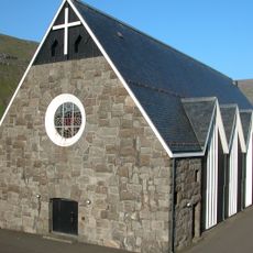
Christianskirkjan
3.2 km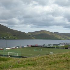
Skála Stadium
9.7 km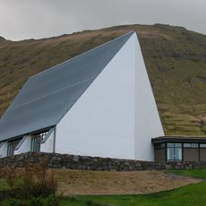
Fuglafjarðar kirkja
10.6 km
Gjógvaráfjall
11.8 km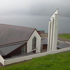
Gøtu Church
6.3 km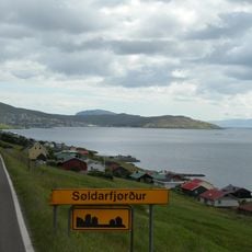
Viðarlundin í Søldarfirði
8.4 km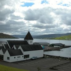
Glyvra Church
9.9 km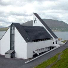
Fríðrikskirkjan
14.3 km
Glyvralon
9.8 km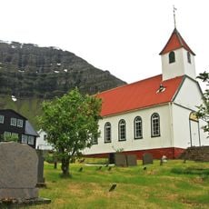
Kunoyar kirkja
10.1 km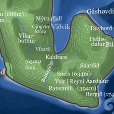
Viðvík
14.6 km
Norðragøta Church
5.8 km
Árnafjarðar kirkja
7.3 km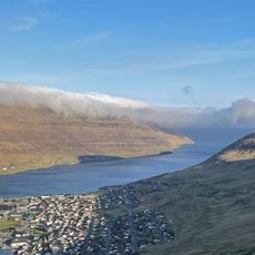
Borðoyarvík
4.5 km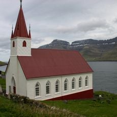
Húsar kirkja
7.6 km
Fuglafjørður
8.6 km
Árnfjarðarvík
8.9 km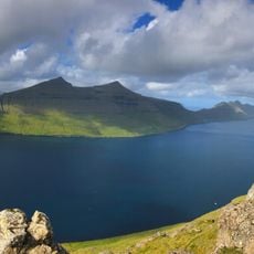
Klakkur
3.5 km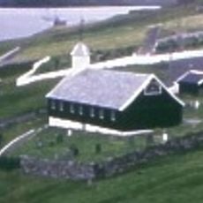
Nes kirkja
14.7 km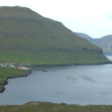
Oyndarfjørður
13.4 km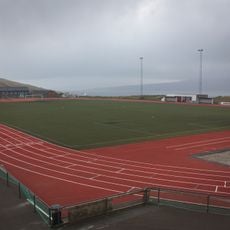
Lilit Svangaskarð
12.9 km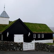
Sjóvar kirkja
11.7 km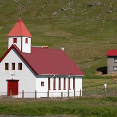
Hvannasunds kirkja
11.3 km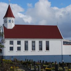
Skála kirkja
9.4 km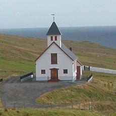
Rituvíkar kirkja
11.3 km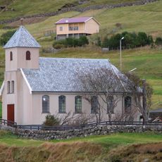
Selatraðar kirkja
14.2 kmVisited this place? Tap the stars to rate it and share your experience / photos with the community! Try now! You can cancel it anytime.
Discover hidden gems everywhere you go!
From secret cafés to breathtaking viewpoints, skip the crowded tourist spots and find places that match your style. Our app makes it easy with voice search, smart filtering, route optimization, and insider tips from travelers worldwide. Download now for the complete mobile experience.

A unique approach to discovering new places❞
— Le Figaro
All the places worth exploring❞
— France Info
A tailor-made excursion in just a few clicks❞
— 20 Minutes