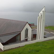
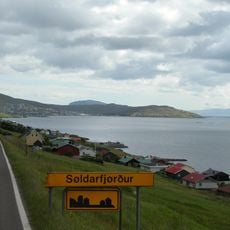
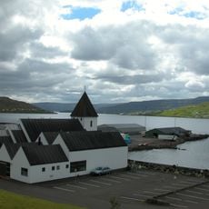
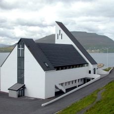
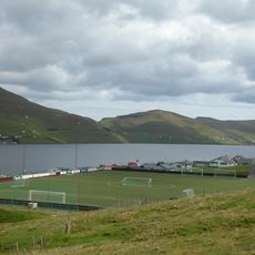
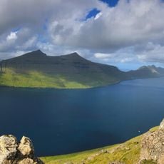
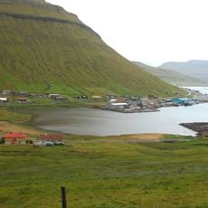
Skálafjørður, Fjord on Eysturoy, Faroe Islands
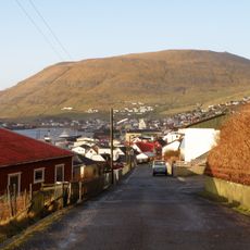
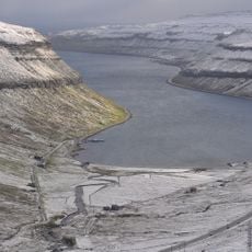
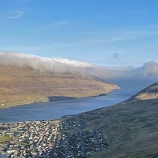
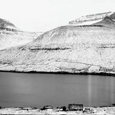
Skálafjørður is the longest fjord in the Faroe Islands, running 14.5 km on Eysturoy from the village of Skálafjørður to where it merges with the Tangafjørður between Raktangi and Toftir. It is 1.0–1.3 km wide, narrows to 650 m at its entrance between Strendur and Saltnes, and reaches about −70 m near Runavík and Søldarfjørður.
During the British occupation of the Faroe Islands in World War II, the fjord served as a natural naval harbour. Heavy ship guns guarded the entrance at Nes, a flak battery defended against German air raids, and a steel net could be strung across the mouth against submarines. Four oil tanks built by the British still stand by the small wood Viðarlundin í Søldarfirði in Søldarfjørður.
The name Skála comes from the Faroese skáli, meaning 'hall', 'assembly hall' or 'isolated hut'. The southern stretch near Runavík is known in Danish as Kongshavn, the King's Harbour, after its sheltered anchorage. Since 2017 the beach at Skálafjørður village, called Skálabotnur until 2019, has been the only officially recognised local grind bay for whale hunting.
National roads run along both shores, linking the villages; the Eysturoyartunnilin, opened in December 2020, connects Runavík and Strendur with Tórshavn, cutting the drive from 55 to 17 km. Its three entrances meet at an underwater roundabout 72.6 m below sea level. Between Runavík and Strendur the tunnel shortens the route from 26 to 5.2 km. A passenger ferry to Tórshavn, Toftir and Strendur ran until 2003.
The Eysturoyartunnilin, opened in December 2020, runs beneath the fjord and reaches a depth of 72.6 metres below sea level, where it holds an underwater roundabout. It cut the road distance between Runavík and Strendur from 26 to 5.2 kilometres, and between both towns and Tórshavn from 55 to 17 kilometres.
The community of curious travelers
AroundUs brings together thousands of curated places, local tips, and hidden gems, enriched daily by 94,599 contributors worldwide.