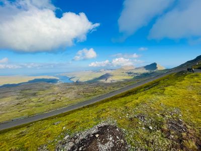
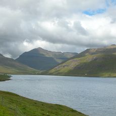
Sornfelli, Mountain road viewpoint on Streymoy, Faroe Islands
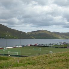
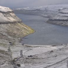
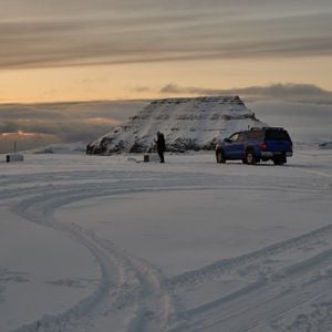
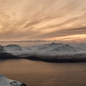
Sornfelli is a mountain road on Streymoy leading to a plateau at about 725 meters in elevation with views across surrounding peaks. The narrow roadway winds through the terrain and creates a natural viewpoint across the island landscape.
A radar station was built here in 1961 during the Cold War to monitor the region and operated until its shutdown in 2007. After its closure, the installation disappeared, though it left traces of military history in this remote location.
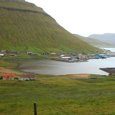
The mountain road connects Tórshavn to northern parts of the Faroe Islands and serves travelers as a vital passage through this remote region. People use this route regularly to move between islands while experiencing the elevation and landscape.
Access is via the Oyggjarvegur road from Tórshavn, though the route often becomes impassable due to snow and ice between November and February. During these months, vehicles should be well-equipped or the road may be completely blocked.
A meteorological station operated here, recording climate data and documenting the cold conditions at this elevation. The station contributed to understanding the highland climate patterns across the Faroe Islands.
The community of curious travelers
AroundUs brings together thousands of curated places, local tips, and hidden gems, enriched daily by 60,000 contributors worldwide.