Guinea-Bissau, Country in West Africa.
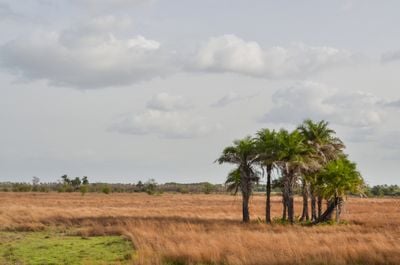
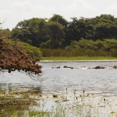
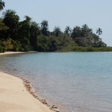
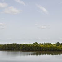
Guinea-Bissau is a West African nation between Senegal and Guinea, occupying a coastal strip along the Atlantic with river estuaries, mangrove forests, and offshore islands. The terrain rises gently from flat coastal plains to low inland plateaus, while the climate brings a pronounced wet season and a dry season with tropical warmth year-round.
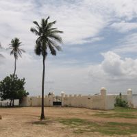
Portuguese traders established coastal trading posts from the 15th century and controlled the region until the mid-20th century. An armed independence struggle launched in 1963 led to a declaration of independence in 1973, gaining international recognition after the Carnation Revolution in Portugal.
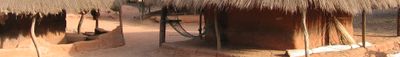
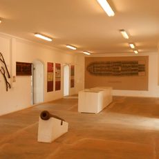
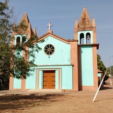
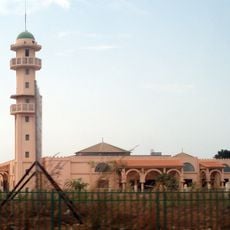
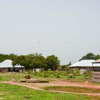
The nation shapes a society of over 20 ethnic communities whose traditional organizational forms and religious practices structure daily life. Local markets serve as central meeting points for trade and social exchange. Musical and dance forms, especially gumbe, reflect the population's cultural diversity and historical experiences. Family ties and collective decision-making remain important social foundations.
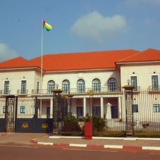
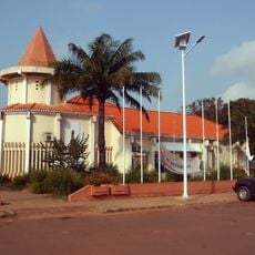
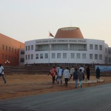
The capital Bissau has the international airport and serves as the arrival point for most travelers. The dry season from November to May offers more comfortable travel conditions than the rainy period, when many rural roads become difficult to pass.
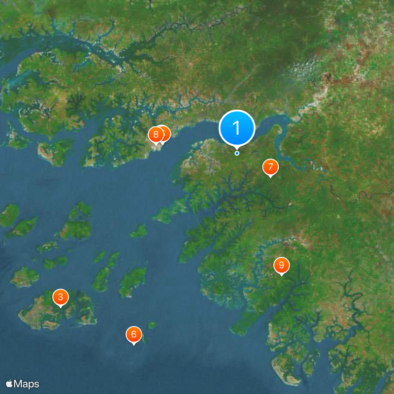
The Bijagos Archipelago with 88 islands is home to matrilineal societies where women traditionally hold authority over land use and resource decisions. Some of these islands remain difficult for outsiders to reach, preserving initiation rites and animist practices that differ from mainland customs.
The community of curious travelers
AroundUs brings together thousands of curated places, local tips, and hidden gems, enriched daily by 60,000 contributors worldwide.