Log in to your account

AroundUs is a community-driven map of interesting places, built by curious explorers like you. It grows with every review, story, and photo you share.
Connect to save your favorite spots, contribute locations, and create personalized routes.
Continue with Google
Continue with Apple
Continue with X
Continue with Facebook
Continue with email
By continuing, you accept our Terms and Conditions and our Privacy Policy
Create an account
Add to collection
Map
Suggest a change
Share

Pasaman, Administrative regency in West Sumatra, Indonesia

Pasaman is a regency in West Sumatra that covers mountainous terrain across twelve districts with Lubuk Sikaping as its administrative seat. The region connects through the Trans-Sumatran Highway, which runs through Bonjol district and links it to wider Sumatran networks.

Pasaman was established on October 8, 1945, following Indonesia's declaration of independence from Dutch colonial rule. The regency developed as an important administrative area in West Sumatra during the early years of the modern Indonesian state.

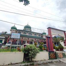
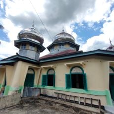
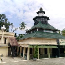
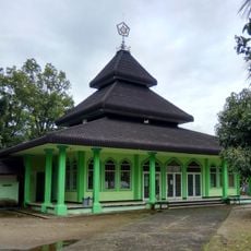
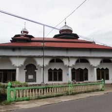
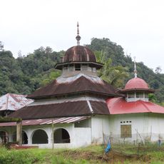
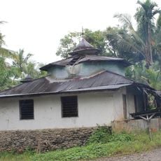
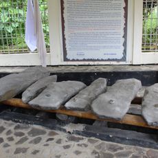
The name Pasaman comes from the Minangkabau language spoken by the majority population, who share this land with the Mandailing people. Both groups practice distinct crafts and maintain separate culinary traditions that shape daily life in villages and towns.

The best time to visit is during the dry season when mountain roads are easier to travel. Remote districts are best reached by local transportation, so it helps to ask for directions and transportation options once you arrive.

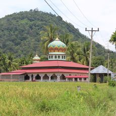
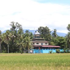
The region is crisscrossed by steep mountains that have served as natural boundaries between tribal territories for centuries. This geographic separation has allowed different village communities to preserve their own craft traditions and local languages to this day.

Location: West Sumatra

Inception: October 8, 1945

Capital city: Lubuk Sikaping

Elevation above the sea: 1,426 m

Shares border with: Lima Puluh Kota, Agam, West Pasaman, Mandailing Natal, Padang Lawas, Rokan Hulu

Website: http://pasamankab.go.id

GPS coordinates: 0.16667,100.11700

Latest update: December 7, 2025 10:06

Photos
Reviews

Visited this place? Tap the stars to rate it and share your experience / photos with the community! Try now! You can cancel it anytime.

« Pasaman - Administrative regency in West Sumatra, Indonesia » is provided by Around Us (aroundus.com). Images and texts are derived from Wikimedia project under a Creative Commons license. You are allowed to copy, distribute, and modify copies of this page, under the conditions set by the license, as long as this note is clearly visible.

Discover hidden gems everywhere you go!

From secret cafés to breathtaking viewpoints, skip the crowded tourist spots and find places that match your style. Our app makes it easy with voice search, smart filtering, route optimization, and insider tips from travelers worldwide. Download now for the complete mobile experience.

Around Us App Screenshot

A unique approach to discovering new places

Le Figaro

All the places worth exploring

France Info

A tailor-made excursion in just a few clicks

20 Minutes