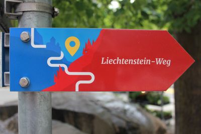
Liechtenstein-Weg, National hiking trail in Liechtenstein.
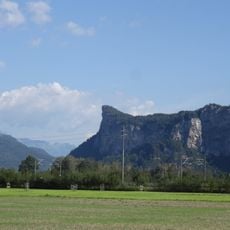
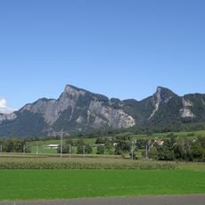
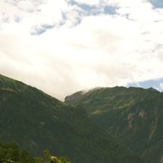
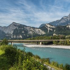
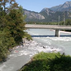
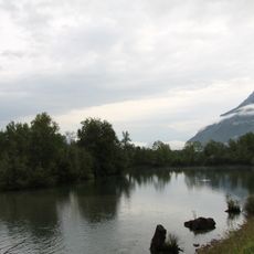
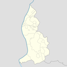
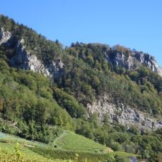
The Liechtenstein-Weg is a marked hiking system that stretches roughly 75 kilometers throughout the principality, connecting all eleven municipalities together. The network passes through valleys, across mountain slopes, and past villages, with each section offering different landscapes and elevation changes.
The trail was developed as a deliberate project to connect the principality's diverse natural and architectural attractions. Creating this network shaped the country's modern hiking culture and made the territory more accessible as a walking destination.
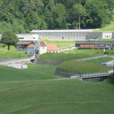
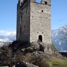
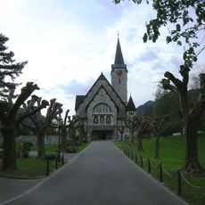
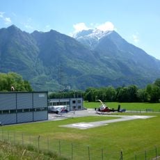
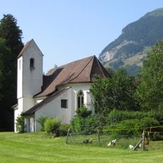
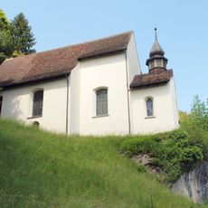
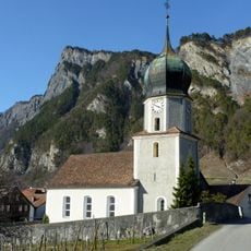
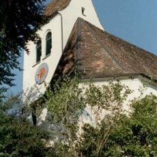
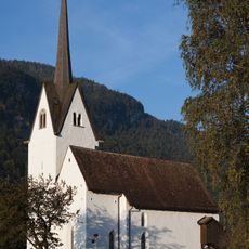
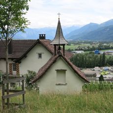
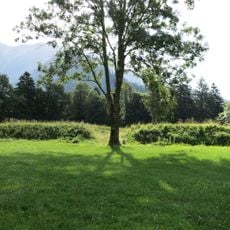
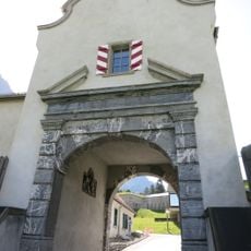
The trail connects all eleven municipalities of the principality, reflecting how the country views itself as a single unified whole. Along the way, walkers encounter traditional farms and small chapels that shape the daily character of the settlements.
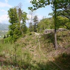
The route is consistently marked and equipped with signposts throughout, making navigation straightforward, especially on longer stretches. Individual sections can be flexibly combined based on fitness level and available time, allowing both day hikes and extended walking trips.
Between Balzers and Triesenberg, hikers pass through an area where llamas and alpacas graze on a farm amid the Alpine setting. This unexpected combination of these animals with the mountain backdrop creates a memorable surprise along the walk.
The community of curious travelers
AroundUs brings together thousands of curated places, local tips, and hidden gems, enriched daily by 60,000 contributors worldwide.