Enable Location

We need your location to show you interesting places around you

Discover nearby places

Find interesting locations and hidden gems around you

Precise directions

Get accurate directions and distances to places

Your location is never shared with other users. It's only used when you tap the location button.

Log in to your account

Start exploring — it's free

Trusted by 62,618 travelers worldwide

Continue with Google
Continue with Apple
or

We will send you a code to connect

By continuing, you accept our Terms and Conditions and our Privacy Policy

Check your inbox

We've sent a pincode in your inbox. Please enter the code below.

Montserrado County, Administrative division in northwestern Liberia

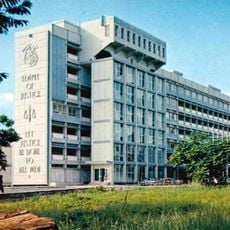
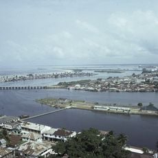
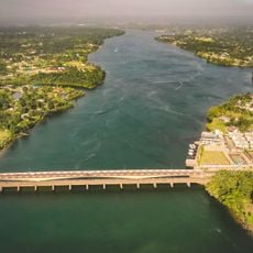
Montserrado County is an administrative division in northwestern Liberia that stretches along the Atlantic Coast and contains the national capital Monrovia. The region serves as the country's primary economic and political center, with multiple administrative divisions covering its territory.

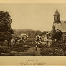
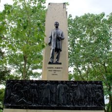
The region was established in 1847 when Liberia was founded and served as the settlement site for freed Black Americans who arrived on Providence Island. This made it the birthplace of modern Liberian history.

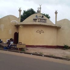
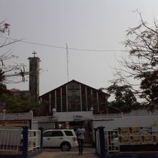
The county is home to multiple ethnic groups who maintain their own languages and customs in daily life. This diversity shapes the character of communities throughout the region.

The region is accessible by road, with Monrovia serving as the main entry point for visitors. The best time to explore is during the dry season when conditions are more stable.

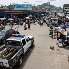
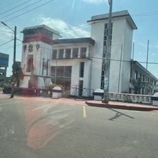
The Red Light Market in Paynesville is one of the largest commercial hubs in West Africa and attracts buyers and sellers from across the region. Its name dates back to the colonial era and remains a vibrant center of regional trade.

The community of curious travelers

AroundUs brings together thousands of curated places, local tips, and hidden gems, enriched daily by 60,000 contributors worldwide.

Start exploring
Location
Inception
1847
Capital city
Bensonville
Reference
MO
GPS coordinates
6.50000,-10.50000
Latest update
December 19, 2025 22:49
« Montserrado County - Administrative division in northwestern Liberia » is provided by Around Us (aroundus.com). Images and texts are derived from Wikimedia project under a Creative Commons license. You are allowed to copy, distribute, and modify copies of this page, under the conditions set by the license, as long as this note is clearly visible.

Discover hidden gems everywhere you go!

From secret cafés to breathtaking viewpoints, skip the crowded tourist spots and find places that match your style. Our app makes it easy with voice search, smart filtering, route optimization, and insider tips from travelers worldwide. Download now for the complete mobile experience.

Around Us App Screenshot

A unique approach to discovering new places

Le Figaro

All the places worth exploring

France Info

A tailor-made excursion in just a few clicks

20 Minutes

Around Us
Travel Guide & Maps
Download

Send to your phone

QR Code
1

Open the camera app on your mobile.

2

Point at the QR code with your camera. A notification will appear.

3

Tap the notification to open the link.