Nimba, Administrative county in northeastern Liberia
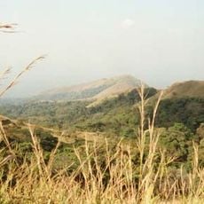
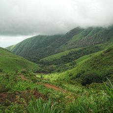
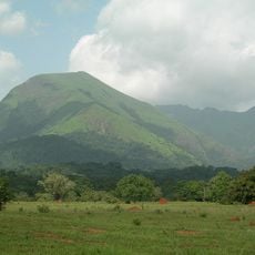
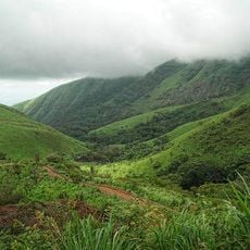
Nimba is a large administrative county in northeastern Liberia, dominated by mountainous terrain and dense forests that extend toward Guinea and Côte d'Ivoire. The landscape is hilly and wooded throughout, with scattered towns and villages serving as centers for local communities.
Iron ore discovery in Mount Nimba during the 1950s led to the founding of LAMCO, a mining operation involving Liberian, American, and Swedish interests. This industry shaped economic development for decades and transformed settlement patterns and infrastructure across the region.
The Dan and Mano peoples shape daily life here, with their customs visible in local crafts, market activities, and village gatherings. The area reflects a border region identity, where different traditions meet and influence each other.
Sanniquellie, the main town, offers a hospital and basic services, though accommodation options are limited and often simple. Travel during the dry season is advisable, as roads become difficult during rainy periods.
Mount Nimba Range contains a nature reserve with Blue Lake, a body of water formed from an old mining pit. The lake has become a focal point for visitors and shows how mining activity reshaped the natural landscape.
The community of curious travelers
AroundUs brings together thousands of curated places, local tips, and hidden gems, enriched daily by 60,000 contributors worldwide.