Aspern, Urban development district in Donaustadt, Austria.
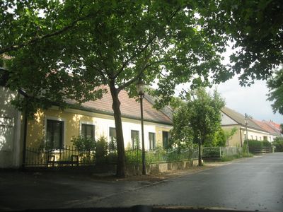
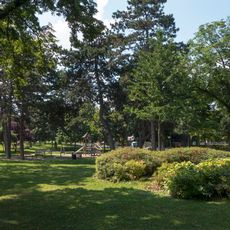
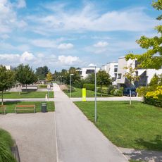
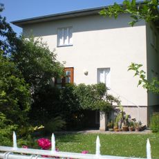
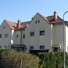
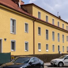
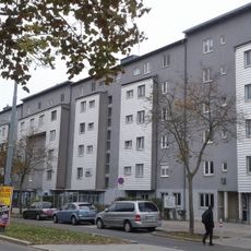
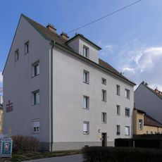
Aspern is a district in Vienna's 22nd district that combines traditional residential areas with modern development zones. The area features a central lake and green spaces surrounded by various housing types and commercial establishments.
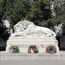
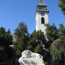
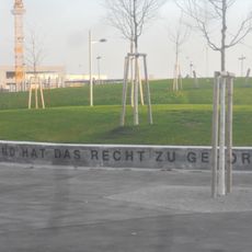
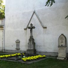
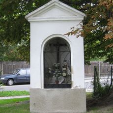
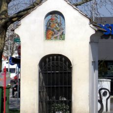
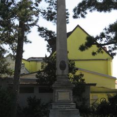
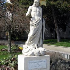
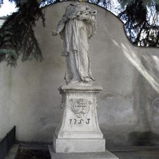
The area witnessed a major military clash in 1809 between Austrian and French forces. This event remains part of the district's historical memory and is commemorated through local monuments.
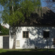
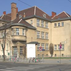
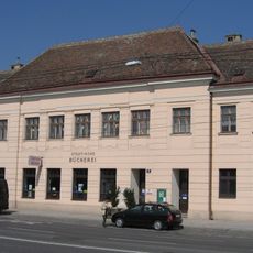
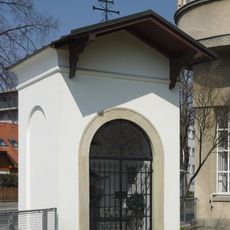
St. Martin's Church has shaped the area's identity for centuries and remains a focal point where past and present coexist. Residents and visitors use this landmark as a gathering place and reference point throughout the constantly evolving district.
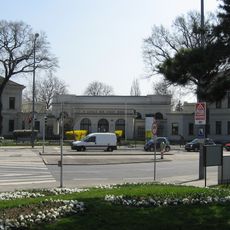
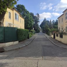
The district is well connected to Vienna through multiple U-Bahn stations on the U2 line, with additional bus routes available. The flat terrain with lakes and parks is easy to explore on foot or by bicycle.
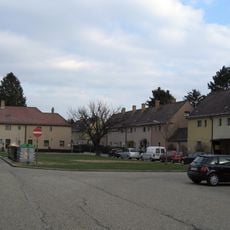
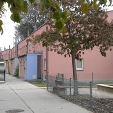
A former airfield has been completely transformed to create space for thousands of new residents and jobs. This conversion demonstrates how unused industrial land becomes vibrant neighborhoods in modern cities.
Location: Donaustadt
GPS coordinates: 48.21778,16.48333
Latest update: December 8, 2025 13:41
Löwe von Aspern
27 m
Asperner Pfarrkirche
30 m
Wulzendorf
656 m
Hannah-Arendt-Park
1.5 km
Astrid-Lindgren-Park
75 m
Trygve-Lie-Park
681 m
Seelsorgezentrum St. Katharina von Siena
723 m
Wohnhausanlage Langobardenstraße 207
168 m
Lumbyepark
734 m
Museum Aspern 1809, Sebastianskapelle
74 m
Asperner Kirchhof, ehem. Ortsfriedhof, heute Park
65 m
Wegkapelle
771 m
Former St. Roch chapel, Aspernstraße
262 m
Haus Schnabl, Aspern
1.2 km
Siedlung Am Müllnermais
911 m
Artilleristen-Denkmal
340 m
Asperner Pfarrkirche - Salvator
3 m
Figur, hl. Johannes Nepomuk
34 m
Schule Oberdorfstraße
227 m
Bronzeplastik
434 m
Schule Asperner Heldenplatz
52 m
Amtshaus Siegesplatz Aspern
206 m
Wohnhausanlage Wimpffengasse 37–39
446 m
Franzosenkreuz Aspern
239 m
Wohnhausanlage Müllnermaisgasse 11
843 m
Wohnhausanlage Langobardenstraße 128
691 m
Wohnhausanlage Oberdorfstraße 4–8
194 m
Siedlung Stadlau
1.6 kmVisited this place? Tap the stars to rate it and share your experience / photos with the community! Try now! You can cancel it anytime.
Discover hidden gems everywhere you go!
From secret cafés to breathtaking viewpoints, skip the crowded tourist spots and find places that match your style. Our app makes it easy with voice search, smart filtering, route optimization, and insider tips from travelers worldwide. Download now for the complete mobile experience.
A unique approach to discovering new places❞
— Le Figaro
All the places worth exploring❞
— France Info
A tailor-made excursion in just a few clicks❞
— 20 Minutes