
Sankt Johann bei Herberstein, locality and cadastral municipality in Hartberg-Fürstenfeld District
Location: Feistritztal
Elevation above the sea: 421 m
Shares border with: Stubenberg
Website: http://st-johann-herberstein.at
GPS coordinates: 47.21083,15.82361
Latest update: March 6, 2025 21:45
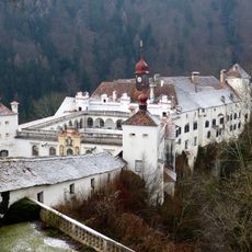
Schloss Herberstein
1.1 km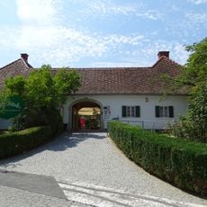
Tierwelt Herberstein
1.3 km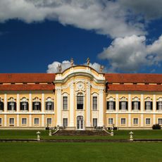
Schloss Schielleiten
2.2 km
Maria Fieberbründl
1.8 km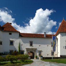
Schloss Stubenberg
3.9 km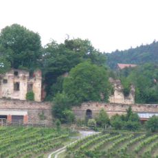
Altschielleiten
3.1 km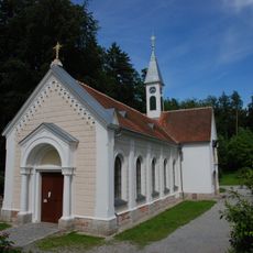
Filialkirche Maria Fieberbründl
1.8 km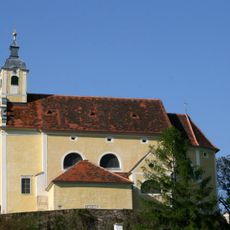
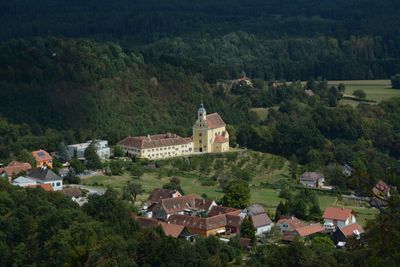
Pfarrkirche Sankt Johann bei Herberstein
492 m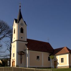
Ortskapelle Maria Schutz
2.7 km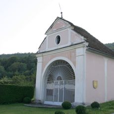
Rosalienkapelle, Sankt Johann bei Herberstein
640 m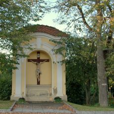
Wegkapelle Hubertuskreuz
640 m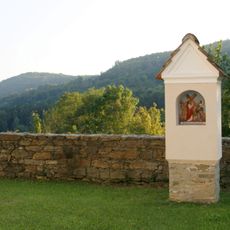
Kalvarienbergstationen bei der Kirche
531 m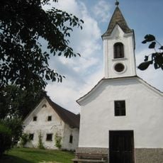
Eisnerkapelle
3.9 km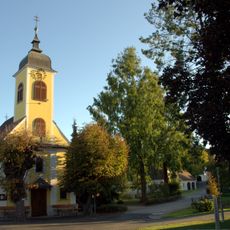
Ortskapelle Hirnsdorf
2 km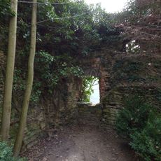
Wehrturm Herberstein
1.1 km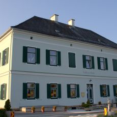
Volksschule
662 m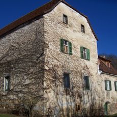
Ehemaliger Glojacher Meierhof, Stubenberg
3 km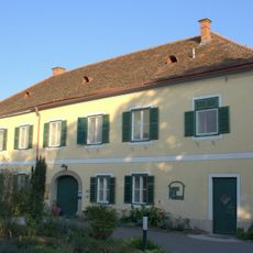
Pfarrhof, ehem. Kloster, Haus der Frauen
532 m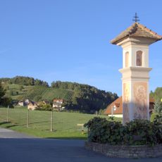
Bildstock
1.5 km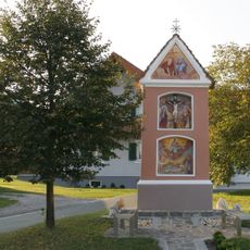
Bildstock Dorfkreuz
89 m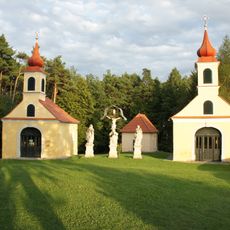
Kalvarienberg
888 m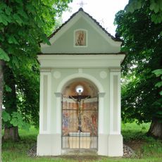
Neuhold-Kreuz
2 km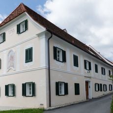
Ehem. Meierhof und Kellerstöckl von Schloss Stubenberg
3.9 km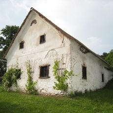
Sogen. Knechthaus
3.9 km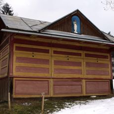
Wallfahrtskiosk
1.8 km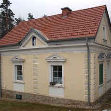
Wohnhaus
1.8 km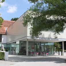
Gironcoli-Museum
1 km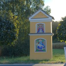
Bildstock
1.4 kmVisited this place? Tap the stars to rate it and share your experience / photos with the community! Try now! You can cancel it anytime.
Discover hidden gems everywhere you go!
From secret cafés to breathtaking viewpoints, skip the crowded tourist spots and find places that match your style. Our app makes it easy with voice search, smart filtering, route optimization, and insider tips from travelers worldwide. Download now for the complete mobile experience.

A unique approach to discovering new places❞
— Le Figaro
All the places worth exploring❞
— France Info
A tailor-made excursion in just a few clicks❞
— 20 Minutes