Retz, Historical town in Hollabrunn District, Austria
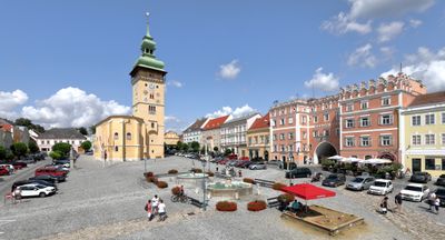
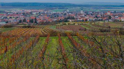
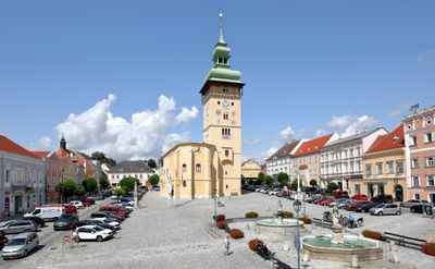
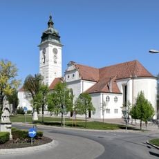
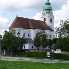
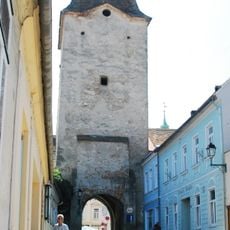
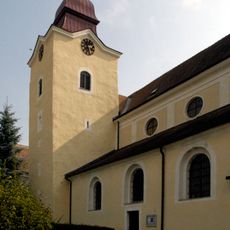
Retz is a town with city privileges in northern Lower Austria, located between the regional center and the Bohemian border near wine-growing areas. The place consists of a historic core with Renaissance buildings and an extensive underground network of wine cellars that runs beneath the houses and streets.
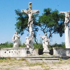
The settlement first appears in records in 1180 and received its city charter in 1295 when a Dominican monastery was established. This monastic foundation shaped its growth as a religious and later economic center for the region.
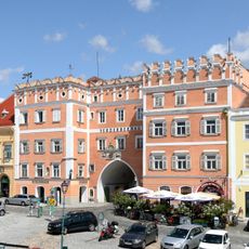
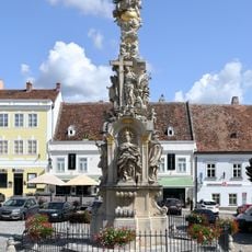
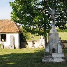
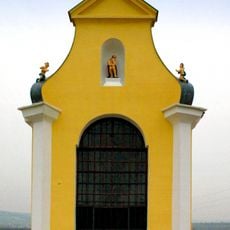
The central square displays houses decorated with intricate sgraffito designs, especially one from 1576 with restored painted facades that still shape the town's appearance. These decorations reflect the prosperity of a medieval trading center and the pride of its former merchants and residents.
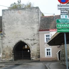
The town is best explored on foot, as the historic streets are close together and the central square forms the heart of the area. Visitors should allow time to explore the underground wine cellars hidden beneath the town, which require special arrangements to access.
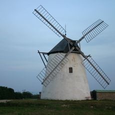
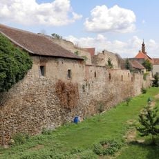
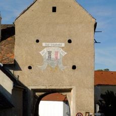
A wooden windmill structure from 1772 still stands above the town, marking the entrance to a labyrinth of wine cellars that extends several levels deep underground. This hidden world was once the backbone of local wine production and remains a rare example of medieval storage engineering.
The community of curious travelers
AroundUs brings together thousands of curated places, local tips, and hidden gems, enriched daily by 60,000 contributors worldwide.