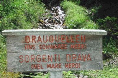
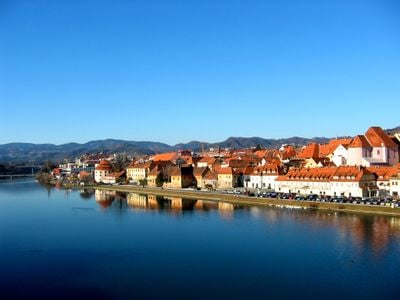
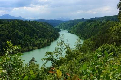
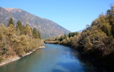
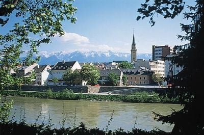
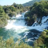
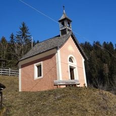
Drava, Alpine river in South Tyrol and Carinthia, Austria and Italy
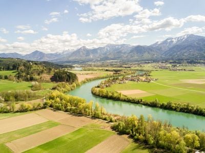
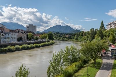
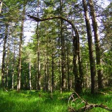
Drava begins in the Dolomites near Toblach at roughly 4600 feet (1400 meters) elevation and flows eastward through valleys in South Tyrol, East Tyrol, and Carinthia before leaving Austria. The riverbed cuts through mountain gorges in its upper reaches and widens into broader plains downstream, where tributaries add to its volume.
Roman legions used the valley as a corridor between Italy and their eastern provinces, building roads and fortifications along the route. Later, Slavic groups moved through the same passage and settled in the less crowded areas, shaping the region's linguistic patterns.
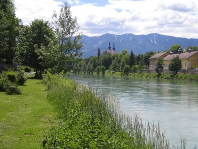
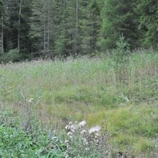
Local anglers know the river for its trout and grayling populations, which thrive in the cooler upstream sections near the Italian border. Kayakers frequent the middle stretches during spring melt, when the current picks up enough speed for whitewater runs without becoming dangerous.
Access varies by section, with some spots easily reachable along main roads while others require hiking into narrower valleys. Water temperature remains cool year-round, especially in the upper reaches near the source, where glacial melt dominates the flow.
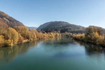
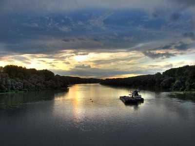
Old maps from earlier centuries show slightly different river paths, as the channel shifted its bed after major floods. The numerous reservoirs have reduced the natural swing in water levels, so extreme highs and lows occur less often now than before the dams were built.
The community of curious travelers
AroundUs brings together thousands of curated places, local tips, and hidden gems, enriched daily by 60,000 contributors worldwide.