Mattighofen, municipality in Braunau District, Upper Austria, Austria
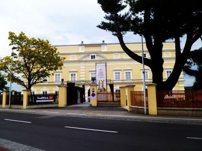
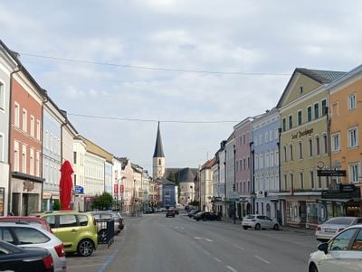
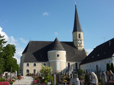
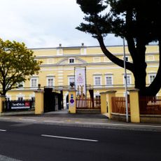
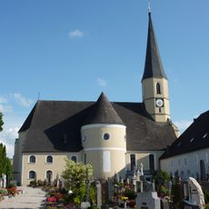
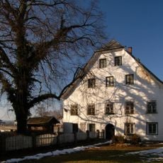
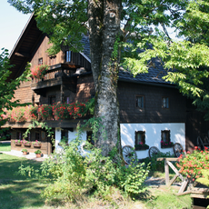
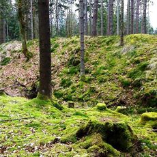
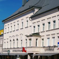
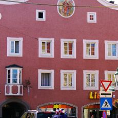
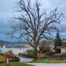
Mattighofen is a small town in the Braunau District in Upper Austria that the Mattig River flows through. The place developed as a local center with traditional structures and sits within the flat landscape of the Innviertel region.
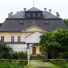
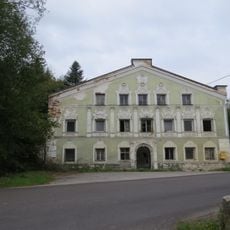
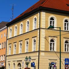
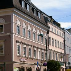
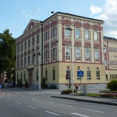
The town gained importance through the granting of town rights, which marked its development as an administrative and economic center. These privileges allowed it to establish itself as an independent municipality.
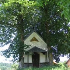
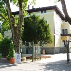
The town is easily accessible and situated in a region with good local infrastructure for visitors. Those looking to get oriented can find traditional shops and facilities here that serve daily needs.
The community of curious travelers
AroundUs brings together thousands of curated places, local tips, and hidden gems, enriched daily by 60,000 contributors worldwide.