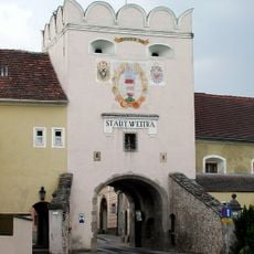
Weitra, municipality in Gmünd District, Lower Austria, Austria
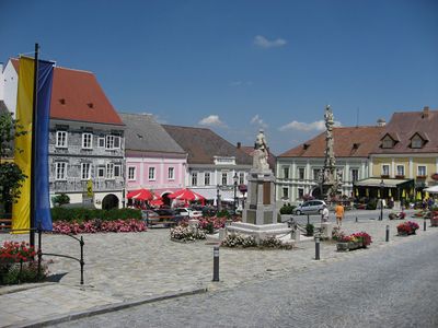
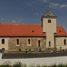
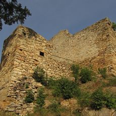
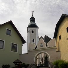
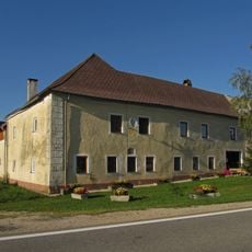
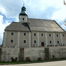
Weitra is a small Austrian city built around a triangular main square, with narrow lanes lined by stone houses that date from medieval times onward. The town is framed by castle ramparts and ancient fortification walls that follow the natural rock ridge, creating the core of a well-preserved medieval settlement.
Weitra was founded in the early 13th century by the Kuenringer family, who relocated a settlement from the valley to a hilltop and built a castle and fortified town. The community became a strategic border post and received brewing rights in 1360, which formed the foundation of its prosperity and importance as a trading center.
The name Weitra may derive from a wide or winding stream or relate to a historical legend. Today visitors experience the town primarily through its brewing heritage, which has shaped local identity and community life since medieval times.
The town is easily explored on foot, with small quiet streets perfect for wandering and discovering details around every corner. Many hotels and small guesthouses in the town center allow visitors to walk easily to main sights and explore the surrounding countryside at a comfortable pace.
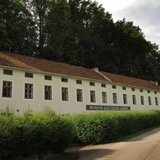
Weitra holds the distinction of being Austria's oldest brewing city and houses the country's smallest brewery, which produces beer using recipes from earlier centuries. Visitors can tour the working brewery and taste traditional brews crafted according to centuries-old formulas.
The community of curious travelers
AroundUs brings together thousands of curated places, local tips, and hidden gems, enriched daily by 60,000 contributors worldwide.