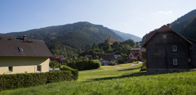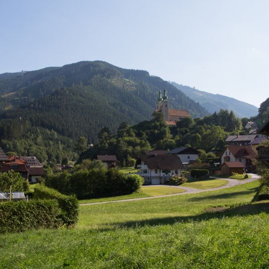
Radmer, municipality in Leoben District, Styria, Austria
AroundUs brings together thousands of curated places, local tips, and hidden gems, enriched daily by 60,000 contributors worldwide. Discover all places nearby (Leoben District).
Hochtor
9.6 km
Schloss Leopoldstein
7.6 km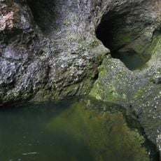
Wassermannsloch
6.6 km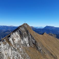
Zeiritzkampel
6.4 km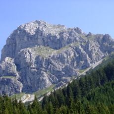
Kaiserschild
5.3 km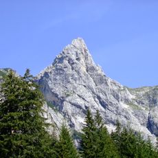
Hochkogel
4.4 km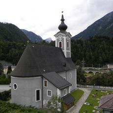
Kath. Pfarrkirche hl. Johannes der Täufer, Hieflau
7 km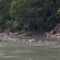
Hieflauer Rechen
7.2 km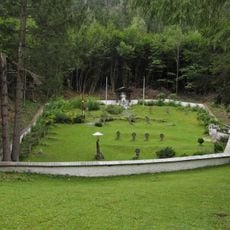
Soldatenfriedhof Wandau
7.7 km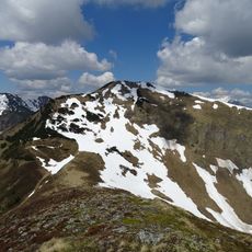
Lahnerleitenspitze
8.3 km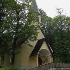
Kapelle Wandau (Hieflau)
7.8 km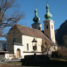
Kirchhofanlage hl. Antonius von Padua, Radmer
233 m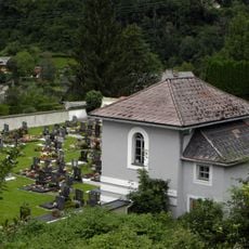
Friedhof und Aufbahrungshalle Hieflau
7 km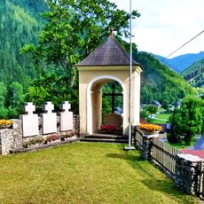
Kreuzweg mit Kapellen und Kriegerdenkmal
302 m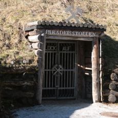
Kupferschaubergwerk Radmer
4.8 km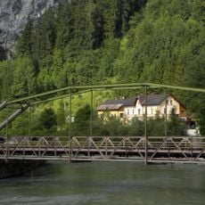
Straßenbrücke Hieflau
7.2 km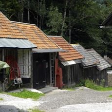
Scheunenreihe Hieflau
5.6 km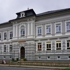
Volksschule Hieflau
6.8 km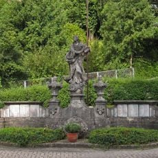
War memorial Hieflau
6.9 km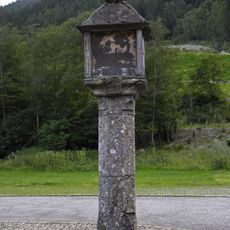
Bildstock Herrenkreuz
7.6 km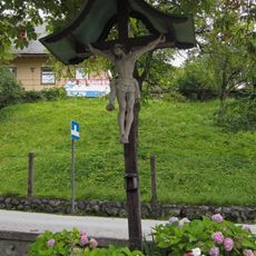
Kruzifix Hieflau
6.9 km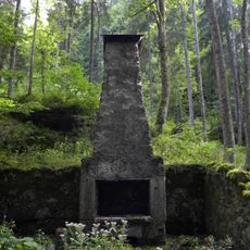
Ruine der Zeugschmiede
5.4 km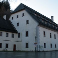
Ehem. Herrschaftshaus, sog. Großhaus
312 m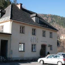
Volksschule
462 m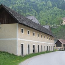
Wirtschaftsgebäude, ehem. Personalhaus
355 m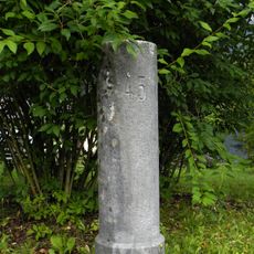
Meilenstein
7.2 km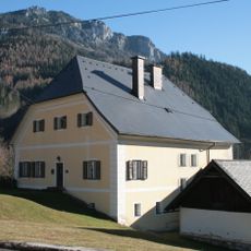
Pfarrhof
183 m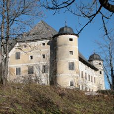
Schloss Greifenberg
3.9 kmDiscover hidden gems everywhere you go!
From secret cafés to breathtaking viewpoints, skip the crowded tourist spots and find places that match your style. Our app makes it easy with voice search, smart filtering, route optimization, and insider tips from travelers worldwide. Download now for the complete mobile experience.

A unique approach to discovering new places❞
— Le Figaro
All the places worth exploring❞
— France Info
A tailor-made excursion in just a few clicks❞
— 20 Minutes
