
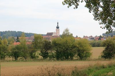
Geras, municipality in Horn District, Lower Austria, Austria
Location: Horn District
Elevation above the sea: 460 m
Shares border with: Drosendorf-Zissersdorf, Langau, Weitersfeld, Sigmundsherberg, Pernegg, Irnfritz-Messern, Japons
Email: gemeinde@geras.gv.at
Website: http://geras.gv.at
GPS coordinates: 48.79889,15.67444
Latest update: March 9, 2025 15:46
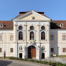
Stift Geras
87 m
Pfarrkirche hl. Laurenz, Japons
7.8 km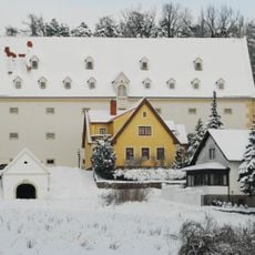
Schüttkasten Geras
204 m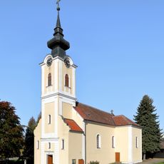
Pfarrkirche hll. Märtyrer Johannes und Paulus, Zissersdorf
4.9 km
Pfarrkirche hl. Johannes Nepomuk, Trabenreith
8.5 km
Pfarrkirche Harth
4.3 km
Pfarrkirche Mariae Himmelfahrt und Friedhof, Langau
4.7 km
Geras Friedhofskapelle
349 m
Ortskapelle hl. Anna
2.6 km
Ortskapelle Dallein
4.7 km
Naturpark Geras
969 m
Barockschlössl
278 m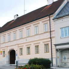
Geras Rathaus
204 m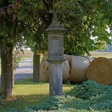
Tabernakelpfeiler, Raisdorf
6.6 km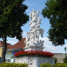
Figurenbildstock hl. Johannes Nepomuk, Langau
4.7 km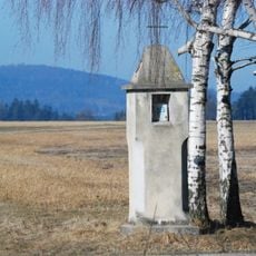
Wayside shrine west of Zissersdorf
6 km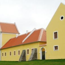
Geras Meierhof
360 m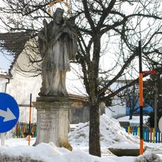
Figurenbildstock hl. Johannes Nepomuk
4.5 km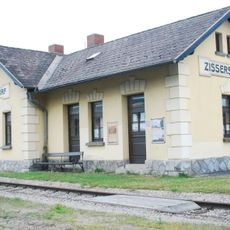
Bahnhof Zissersdorf
4.5 km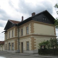
Aufnahmsgebäude Bahnhof Hötzelsdorf-Geras
6.3 km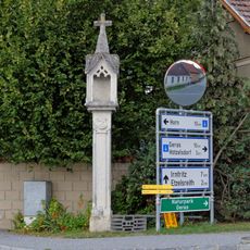
Bildstock
7.5 km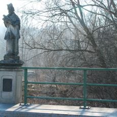
Figurenbildstock hl. Johannes Nepomuk
2.4 km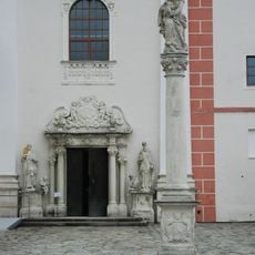
Geras Mariensäule
126 m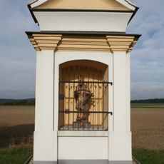
Wayside shrine Hötzelsdorf
5.7 km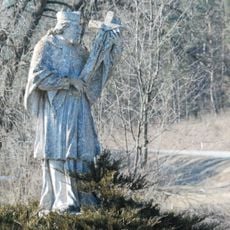
Johannes-Nepomuk-Statue
6.5 km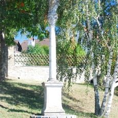
Geras Figurenbildstock
275 m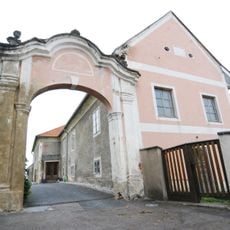
Pfarrhof
7.8 km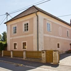
Pfarrhof
8.7 kmVisited this place? Tap the stars to rate it and share your experience / photos with the community! Try now! You can cancel it anytime.
Discover hidden gems everywhere you go!
From secret cafés to breathtaking viewpoints, skip the crowded tourist spots and find places that match your style. Our app makes it easy with voice search, smart filtering, route optimization, and insider tips from travelers worldwide. Download now for the complete mobile experience.

A unique approach to discovering new places❞
— Le Figaro
All the places worth exploring❞
— France Info
A tailor-made excursion in just a few clicks❞
— 20 Minutes