Plattberg, Mountain peak in Tyrol, Austria
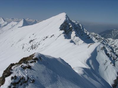
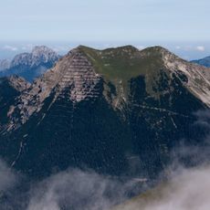
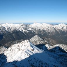
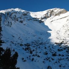
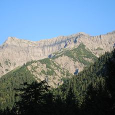
Plattberg, also known as Hochschrutte, is a summit rising to 2247 meters in the Ammergau Alps with steep northern cliffs and broad southern slopes. The mountain's southern side displays extensive rock slabs, while the north drops sharply toward the Pitzen valley.
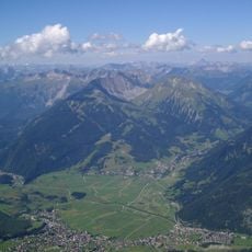
The mountain was developed over centuries by local shepherds who created paths connecting valleys in the region for seasonal livestock movement. These ancient routes shaped the transport connections between communities for generations.
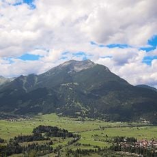
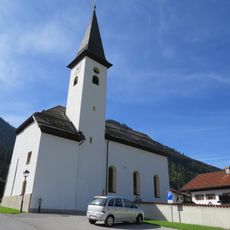
The mountain serves a role in the life of local communities who practice traditional Alpine farming on its lower slopes. Residents use the meadows during summer months for their herds.
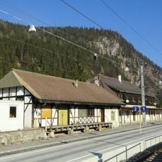
You can reach the summit from several starting points including Lermoos, Lähn, Wengle, and Bichlbach, each with their own trailheads. The Außerfernbahn railway line also serves these access points for visitors arriving by train.
The name Plattberg comes from the broad flat rock surfaces on the southern side, which resemble large stone slabs. Hikers often notice only during the ascent how these flat rock formations dominate the mountain's southern face.
The community of curious travelers
AroundUs brings together thousands of curated places, local tips, and hidden gems, enriched daily by 60,000 contributors worldwide.