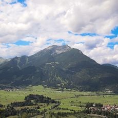
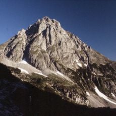
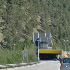
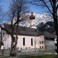
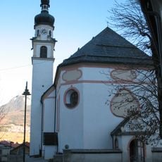
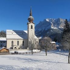
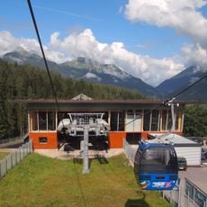
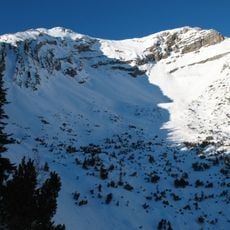
Ehrwalder Becken, Glacial cirque in Biberwier and Ehrwald, Austria.
Ehrwalder Becken is a 3.5 km² basin at 963 m altitude in the Tyrolean Außerfern, bordered by the Wetterstein, Mieminger, Lechtal and Ammergau Alps. Its flat floor is mostly moorland, the Lermooser Moos, drained by the straightened Loisach flowing south to north. Wooded moraine hills such as the 996 m Tummebichl rise about 30 m above the valley floor.
The Loisach originally drained south through the Gurgltal to the Inn. About 4,100 years ago a huge landslide raised the Fernpass and blocked that outlet, so a lake formed in the basin; it later found a northern outflow, silted up and became the Lermooser Moos. The Romans built the Via Claudia Augusta as a timber track across the moor, and dendrochronology dates its construction to about 46 AD, with upkeep until around 374.
The basin's name comes from Ehrwald, the village on its eastern rim; Biberwier lies south and Lermoos west, since the wet moor left the centre unsettled. The Loisach, straightened, still flows south to north through it, and the Außerfernbahn runs along the northern edge. Walkers today cross the flat floor between the three villages.
The basin is accessible from three nearby towns and offers a network of walking and cycling routes suitable for all ability levels. The flat terrain makes it easy to explore on foot or by bike without steep climbs or technical challenges.
The 28.6-hectare nature reserve, protected since 1991, also takes in an 800-metre-long former arm of the Loisach in the north of the basin, where Braunkehlchen, Neuntöter and Karmingimpel nest. In the central transitional moor grow round-leaved sundew and rosemary heath, while the surrounding small-sedge fen holds broad-leaved marsh orchid and marsh helleborine.
The community of curious travelers
AroundUs brings together thousands of curated places, local tips, and hidden gems, enriched daily by 93,965 contributors worldwide.