
Eberstalzell, municipality in Wels-Land District, Upper Austria, Austria
Location: Wels-Land District
Elevation above the sea: 400 m
Shares border with: Steinerkirchen an der Traun, Sattledt, Ried im Traunkreis, Pettenbach, Vorchdorf
Email: gemeinde@eberstalzell.ooe.gv.at
Website: http://eberstalzell.at
GPS coordinates: 48.04472,13.98194
Latest update: March 2, 2025 20:20
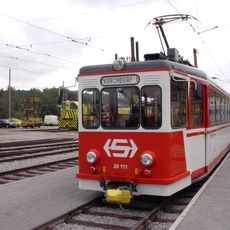
Lokalbahn Lambach–Vorchdorf-Eggenberg
5.4 km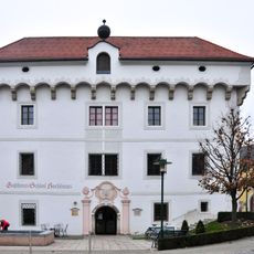
Schloss Hochhaus
6.4 km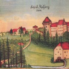
Burg Rechberg
4.9 km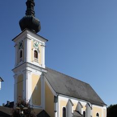
Pfarrkirche
6.3 km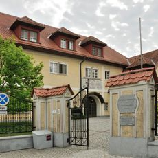
Benediktinerinnenkloster Steinerkirchen
4.1 km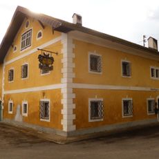
Schloss Theuerwang
6.2 km
Kath. Pfarrkirche hl. Nikolaus, Ried im Traunkreis
7.1 km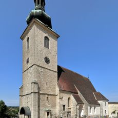
Saint Martin Church (Steinerkirchen an der Traun)
4.1 km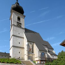
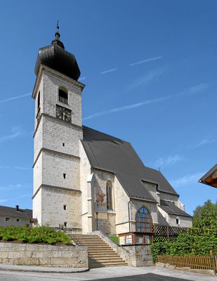
Eberstalzell Parish Church
73 m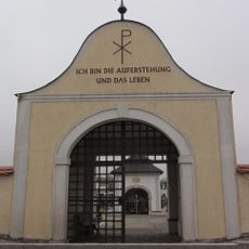
Friedhof Vorchdorf
6 km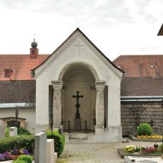
Priesterkapelle
4.1 km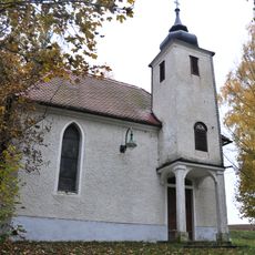
Mariahilf-Kapelle
844 m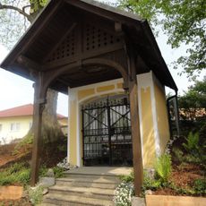
Sog. Kreuzkapelle
6.1 km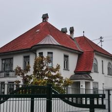
Villa Stenz
6.6 km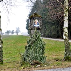
Bildstock, sog. Pestsäule
4.7 km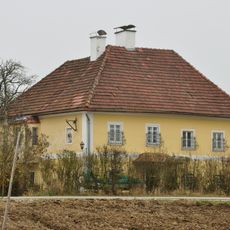
Alte Schule Harhagen
5.3 km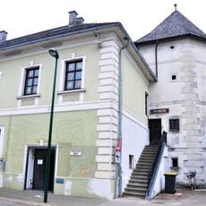
Gemeindeamt (Außenbau und historischer Durchgang) und sog. Fischerturm
6.4 km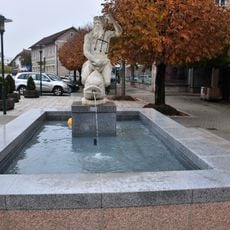
Neptunbrunnen
6.4 km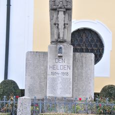
Kriegerdenkmal
6.3 km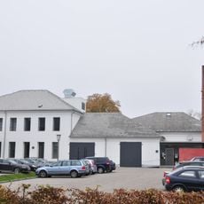
Ehem. Kitzmantel Lederfabrik (ohne südlichen Anbau von 1950)
6.6 km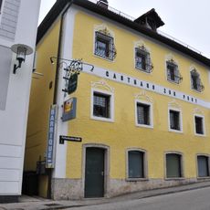
Gasthof zur Post
6.3 km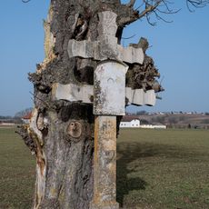
Wegkreuz Brandstatt, Pettenbach
6.3 km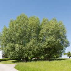
Zwei Kopfweiden in Trensing
1 km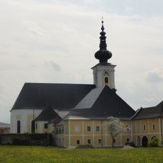
Pfarrhof
6.3 km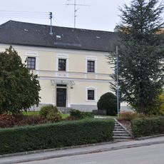
Pfarrhof
156 m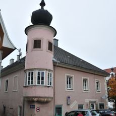
Bürgerhaus, ehem. Jägerstöckl
6.4 km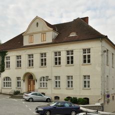
Ehem. Volksschule
4.1 km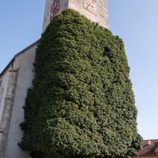
Efeustock am Kirchturm
7.1 kmVisited this place? Tap the stars to rate it and share your experience / photos with the community! Try now! You can cancel it anytime.
Discover hidden gems everywhere you go!
From secret cafés to breathtaking viewpoints, skip the crowded tourist spots and find places that match your style. Our app makes it easy with voice search, smart filtering, route optimization, and insider tips from travelers worldwide. Download now for the complete mobile experience.

A unique approach to discovering new places❞
— Le Figaro
All the places worth exploring❞
— France Info
A tailor-made excursion in just a few clicks❞
— 20 Minutes