
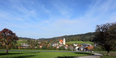
Zell am Pettenfirst, municipality in Vöcklabruck District, Upper Austria, Austria
Location: Vöcklabruck District
Elevation above the sea: 550 m
Shares border with: Ottnang am Hausruck, Ungenach, Puchkirchen am Trattberg, Ampflwang im Hausruckwald
Email: gemeinde@zell-pettenfirst.ooe.gv.at
Website: http://zell-pettenfirst.ooe.gv.at
GPS coordinates: 48.07833,13.60000
Latest update: March 4, 2025 19:38
Schloss Wolfsegg
6.5 km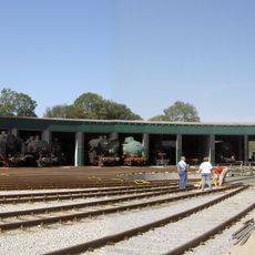
Ampflwang coal railway
3.3 km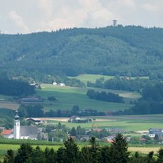
Göblberg
5.7 km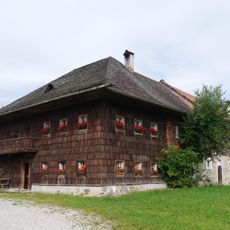
Freilichtmuseum Stehrerhof
6.3 km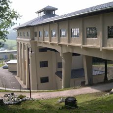
Coal crusher Buchleiten
3.4 km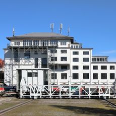
Zentralsortierungsanlage Ampflwang
3 km
Sankt Martin
3 km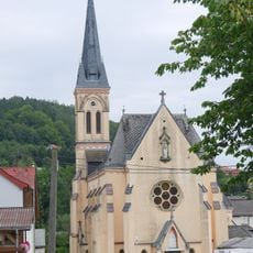
Bruckmuehl Parish Church
3.6 km
Schloss Ainwalding
1.9 km
Pfarrkirche Ottnang am Hausruck
5.4 km
Kath. Filialkirche, Barbarakirche, Bergmannskirche
1.6 km
Pfarrkirche Neukirchen an der Vöckla
6.2 km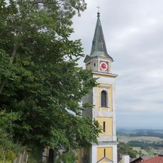
Pfarrkirche Wolfsegg am Hausruck
6.3 km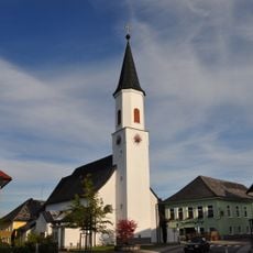
Pfarrkirche Puchkirchen am Trattberg
4.3 km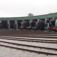
Lokpark Ampflwang
3.1 km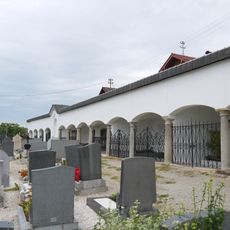
Friedhof Ottnang am Hausruck
5.4 km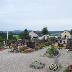
Friedhof und Friedhofskapelle
4.3 km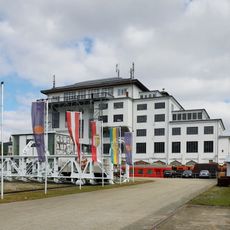
Railway and Mining Museum Ampflwang
3.1 km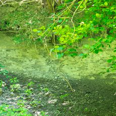
Ottnangien von Wolfsegg
5.7 km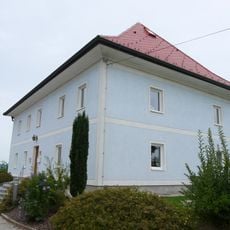
Pfarrhof
4.3 km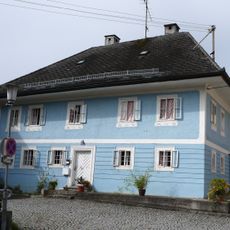
Pfarrhof
6.2 km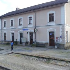
Station building of Ottnang-Wolfsegg railway station
5 km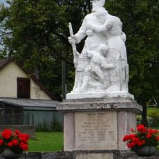
Kriegerdenkmal
3.5 km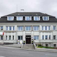
Gemeindeamt
5.1 km
Pfarrhof
159 m
Pfarrhof
3.7 km
Pfarrhof
5.1 km
Pfarrhof, ehem. Franziskanerkonvent
3.5 kmReviews
Visited this place? Tap the stars to rate it and share your experience / photos with the community! Try now! You can cancel it anytime.
Discover hidden gems everywhere you go!
From secret cafés to breathtaking viewpoints, skip the crowded tourist spots and find places that match your style. Our app makes it easy with voice search, smart filtering, route optimization, and insider tips from travelers worldwide. Download now for the complete mobile experience.

A unique approach to discovering new places❞
— Le Figaro
All the places worth exploring❞
— France Info
A tailor-made excursion in just a few clicks❞
— 20 Minutes