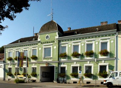
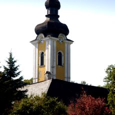
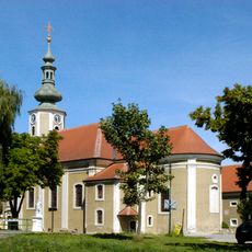
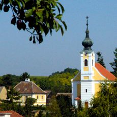
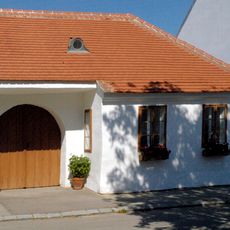
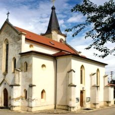
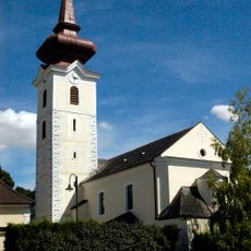
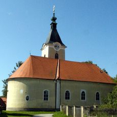
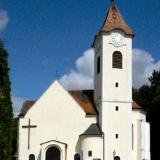
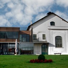
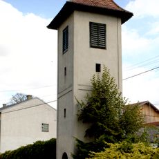
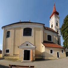
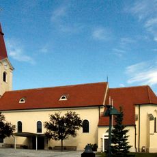
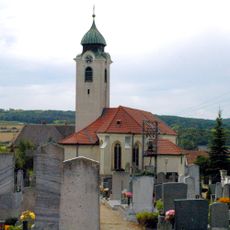
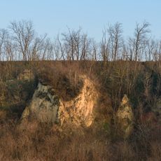
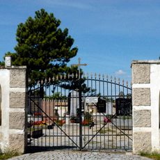
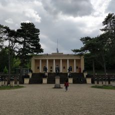
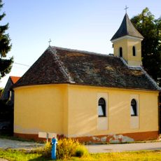
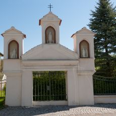
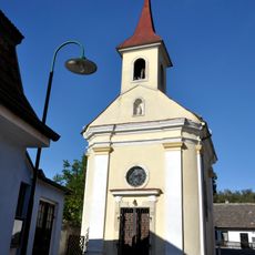
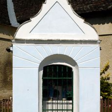
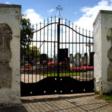
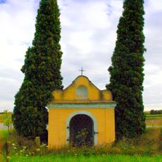
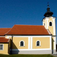
Ziersdorf, municipality in Hollabrunn District, Lower Austria, Austria
Location: Hollabrunn District
Elevation above the sea: 230 m
Shares border with: Sitzendorf an der Schmida, Hollabrunn, Heldenberg, Großriedenthal, Hohenwarth-Mühlbach am Manhartsberg, Ravelsbach
Email: gemeinde@ziersdorf.at
Website: https://ziersdorf.at
GPS coordinates: 48.53333,15.93333
Latest update: March 5, 2025 11:46
Heldenberg Memorial
4.3 km
Schloss Wetzdorf
4.1 km
Kirche Gettsdorf, Gemeinde Ziersdorf
2.4 km
Pfarrkirche Großmeiseldorf, Gemeinde Ziersdorf
4 km
Brandlhof
3 km
Pfarrkirche Glaubendorf
2.8 km
Pfarrkirche Rohrbach bei Ziersdorf
2.6 km
Pfarrkirche Fahndorf, Gemeinde Ziersdorf
3 km
Pfarrkirche hl. Johannes der Täufer, Radlbrunn
3 km
Pfarrkirche Oberthern
5.8 km
Konzerthaus Weinviertel
635 m
Glockenturm Unterthern
5.6 km
Pfarrkirche Großriedenthal
7.4 km
Pfarrkirche Ziersdorf
599 m
Pfarrkirche Großwetzdorf
4.3 km
Koller's Oldtimer
4 km
Neun Mauna ("Nine men")
6.9 km
Gettsdorf Friedhof
2.5 km
Radetzky-Gedenkstätte und Steinzeitdorf Heldenberg. Kleinwetzdorf
4.3 km
Ortskapelle Baumgarten, Gemeinde Großweikersdorf
5.8 km
Großriedenthal 47 Wegkapelle
7.3 km
Ortskapelle
6.2 km
Wegkapelle
2.7 km
Friedhofsportal
2.8 km
Wegkapelle
2.4 km
Friedhofskreuz
4 km
Friedhofskreuz
4.3 km
Ortskapelle heiliger Augustinus
5.9 kmReviews
Visited this place? Tap the stars to rate it and share your experience / photos with the community! Try now! You can cancel it anytime.
Discover hidden gems everywhere you go!
From secret cafés to breathtaking viewpoints, skip the crowded tourist spots and find places that match your style. Our app makes it easy with voice search, smart filtering, route optimization, and insider tips from travelers worldwide. Download now for the complete mobile experience.
A unique approach to discovering new places❞
— Le Figaro
All the places worth exploring❞
— France Info
A tailor-made excursion in just a few clicks❞
— 20 Minutes