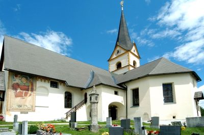
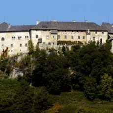
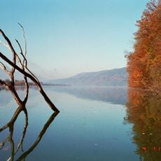
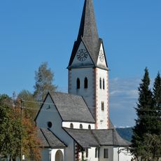
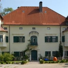
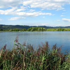
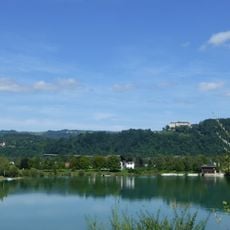
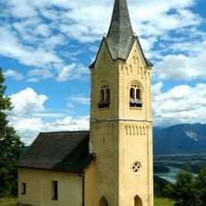
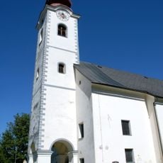
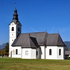
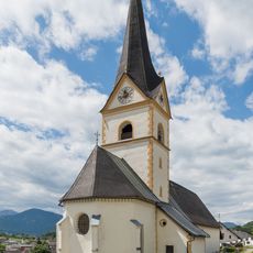
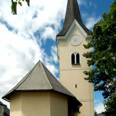
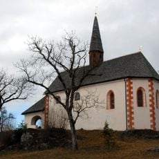
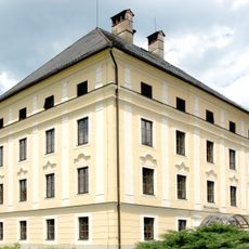
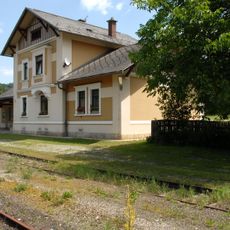
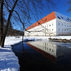
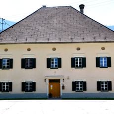
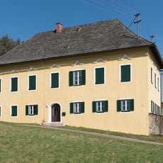
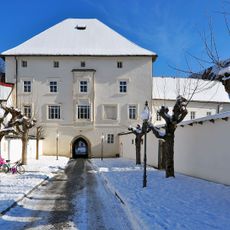
Köttmannsdorf, municipality in Klagenfurt-Land District, Carinthia, Austria
Location: Klagenfurt(Land) District
Elevation above the sea: 558 m
Shares border with: Keutschach am See, Klagenfurt
Email: koettmannsdorf@ktn.gde.at
Website: http://koettmannsdorf.at
GPS coordinates: 46.56139,14.23389
Latest update: April 21, 2025 15:18
Straßenbrücke Ferlacher Stausee
2.9 km
Burg Hollenburg
2.7 km
Viktring Abbey
4.2 km
Ferlacher Stausee
1.7 km
Pfarrkirche hll. Georg und Bartholomäus, Keutschach am See
5 km
Schloss Ebenau
3.1 km
St. Johanner Badesee
3.3 km
Ewiger Regen
4.1 km
Badesee Kirschentheuer
2.7 km
St. Margarethen ob Köttmannsdorf
2.4 km
Pfarrkirche hl. Zeno, Kappel, Ferlach
3.2 km
Pfarrkirche Hl. Johannes, St. Johann, Feistritz im Rosental
4.1 km
Pfarrkirche hl. Georg, Köttmannsdorf
132 m
Kath. Filialkirche hl. Gandolf
510 m
Subsidiary church Saint Nicholas, St. Nikolai
3.7 km
Filialkirche Wellersdorf
4.2 km
Totenleuchte Köttmannsdorf
120 m
Schloss Keutschach
5 km
Maria Rain railway station
3.9 km
Gymnasium, ehem. Zisterzienserstift
4.1 km
Eisenbahnbrücke Ferlacher Stausee
2.7 km
Ehem. Getreidekasten
4.1 km
Mehrfamilienwohnhaus
4.3 km
Totenleuchte Keutschach
5 km
Pfarrhof Kappel
3.2 km
Pfarrhof Keutschach am See
5 km
Pfarr- und ehem. Stiftskirche Maria vom Siege
4.2 km
Stift Viktring Pfarrhof
4.1 kmReviews
Visited this place? Tap the stars to rate it and share your experience / photos with the community! Try now! You can cancel it anytime.
Discover hidden gems everywhere you go!
From secret cafés to breathtaking viewpoints, skip the crowded tourist spots and find places that match your style. Our app makes it easy with voice search, smart filtering, route optimization, and insider tips from travelers worldwide. Download now for the complete mobile experience.
A unique approach to discovering new places❞
— Le Figaro
All the places worth exploring❞
— France Info
A tailor-made excursion in just a few clicks❞
— 20 Minutes