
Marchtrenk, municipality in Wels-Land District, Upper Austria, Austria
Location: Wels-Land District
Elevation above the sea: 304 m
Shares border with: Oftering, Hörsching, Weißkirchen an der Traun, Schleißheim, Wels, Buchkirchen, Holzhausen
Email: gemeindeamt@marchtrenk.gv.at
Website: http://marchtrenk.gv.at
GPS coordinates: 48.19167,14.11056
Latest update: May 10, 2025 02:51
Schloss Dietach
3.8 km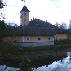
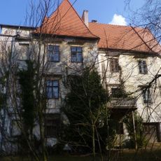
Wasserschloss Freiling
5.1 km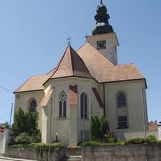
Pfarrkirche Hörsching
6.3 km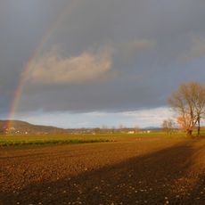
Unteres Trauntal
1.6 km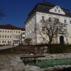
Schloss Mistelbach
6.4 km
Schloss Ottsdorf
5.4 km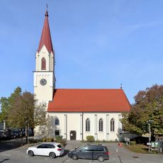
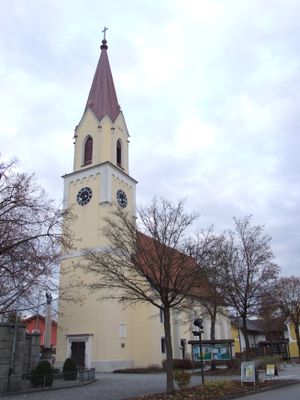
Alte Pfarrkirche Marchtrenk
105 m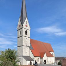
Parish church of Weißkirchen an der Traun
3.3 km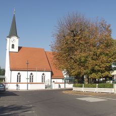
Sankt Michael
5.5 km
Pfarrkirche Wels-Pernau
5 km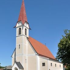
Sankt Vitus
3.6 km
Saints Peter and Paul Church (Oftering)
5.1 km
Evangelische Pfarrkirche Marchtrenk
337 m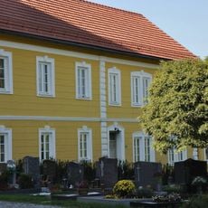
Pfarrheim und Mesnerhaus, ehem. Schule
5.1 km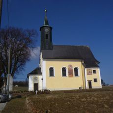
Catholic branch church St. Margareta
6.4 km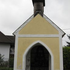
Ufermann-Kapelle
1.5 km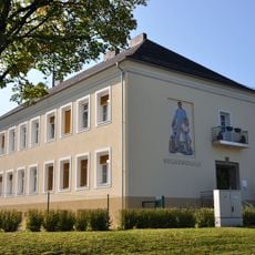
Volksschule
5.1 km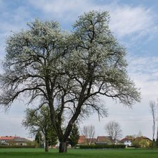
Birnbaum in Marchtrenk
1.9 km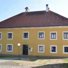
Pfarrhof
5.5 km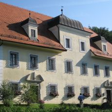
Pfarrhof
3.4 km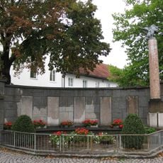
Kriegerdenkmal
126 m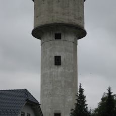
Wasserturm
1.7 km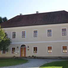
Pfarrhof-Anlage
6.3 km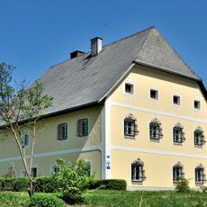
Pfarrhof Schleißheim, Upper Austria
4.3 km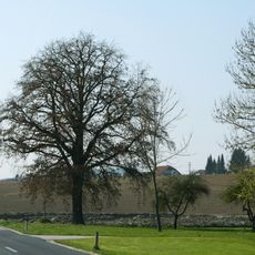
Eiche in Oberperwend
6.3 km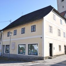
Mesnerhaus, ehem. Schule
6.3 km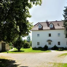
Pfarrhof Holzhausen
3.5 km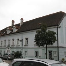
Pfarrhof
154 mReviews
Visited this place? Tap the stars to rate it and share your experience / photos with the community! Try now! You can cancel it anytime.
Discover hidden gems everywhere you go!
From secret cafés to breathtaking viewpoints, skip the crowded tourist spots and find places that match your style. Our app makes it easy with voice search, smart filtering, route optimization, and insider tips from travelers worldwide. Download now for the complete mobile experience.

A unique approach to discovering new places❞
— Le Figaro
All the places worth exploring❞
— France Info
A tailor-made excursion in just a few clicks❞
— 20 Minutes