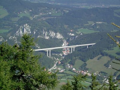
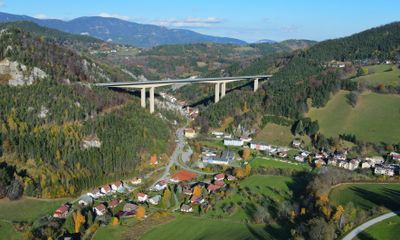
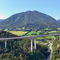
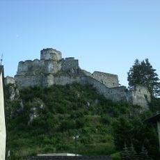
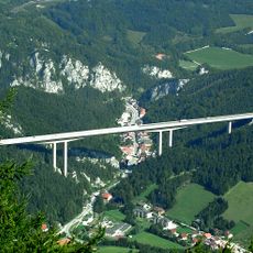
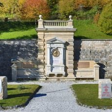
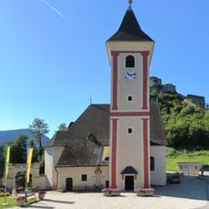
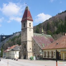
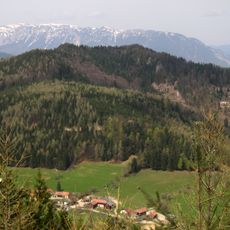
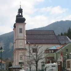
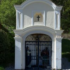
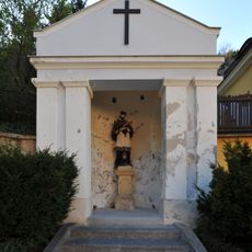
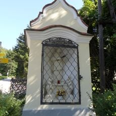
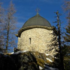
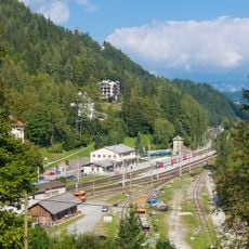
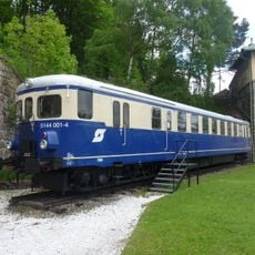
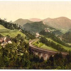
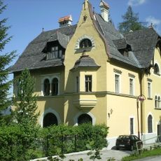
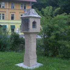
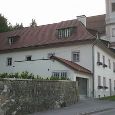
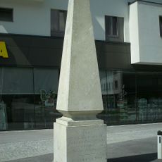
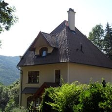
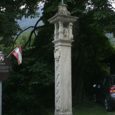
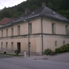
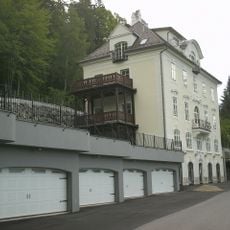
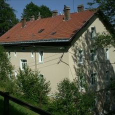
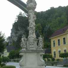
Schottwien, municipality in Neunkirchen District, Lower Austria, Austria
Location: Neunkirchen District
Elevation above the sea: 569 m
Shares border with: Breitenstein, Gloggnitz, Raach am Hochgebirge, Trattenbach, Spital am Semmering
Email: gemeinde@schottwien.gv.at
Website: http://schottwien.gv.at
GPS coordinates: 47.65461,15.87190
Latest update: March 23, 2025 23:03
Sonnwendstein
2.9 km
Castle ruin Klamm
684 m
Talübergang Schottwien
261 m
Ghega monument
3.5 km
St. Martin subsidiary church with cemetery
738 m
Filialkirche Schottwien
3 m
Grasberg
2 km
Pollereshütte
2.9 km
Friedhof mit Friedhofskapelle
554 m
Pfarrkirche Maria Schutz
1.5 km
Marktkapelle
636 m
Hl. Johannes Nepomuk-Kapelle
103 m
Nepomuk-Kapelle
760 m
Josefskapelle Sonnwendstein
2.9 km
Südbahnstrecke Semmering-Bahn (Gloggnitz-Mürzzuschlag)
3.5 km
DMU ÖBB 5144 001-4
3.5 km
Wagnergraben viaduct
1.3 km
Carolus-Denkmal, Semmering
4 km
Villa Bündsdorf
3.7 km
Bildstock
387 m
Kloster der Passionisten
1.5 km
Kilometer-/Meilenstein
4 km
Ehem. Pfarrhof
697 m
Pestpfeiler mit Pietá
658 m
Pfarrhof
23 m
Kommunaler Wohnbau
3.5 km
Wohnhaus, ehem. Dependance des Hotels Stefanie
3.6 km
Pest-/Dreifaltigkeitssäule
69 mVisited this place? Tap the stars to rate it and share your experience / photos with the community! Try now! You can cancel it anytime.
Discover hidden gems everywhere you go!
From secret cafés to breathtaking viewpoints, skip the crowded tourist spots and find places that match your style. Our app makes it easy with voice search, smart filtering, route optimization, and insider tips from travelers worldwide. Download now for the complete mobile experience.
A unique approach to discovering new places❞
— Le Figaro
All the places worth exploring❞
— France Info
A tailor-made excursion in just a few clicks❞
— 20 Minutes