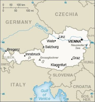
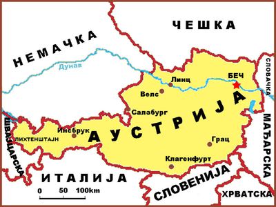
Geography of Austria, Geographical region in Central Europe
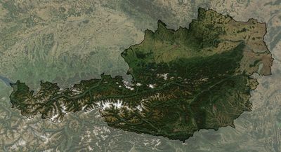
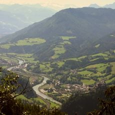
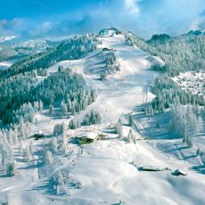
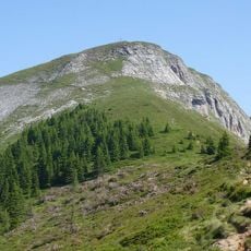
Austria spans across Central Europe and is shaped by three main landscapes: the Alps covering the southern and western portions, the Pannonian Plain stretching across the east, and the Bohemian Forest to the north. Multiple rivers, including the Danube, flow through these varied regions.
The Austrian territory formed through geological processes during Alpine mountain-building roughly 65 million years ago. Tectonic plate movements shaped the highland and lowland regions visible today.
The geographical features of Austria, particularly the Danube River and Alpine regions, influenced the development of transportation routes and settlement patterns throughout centuries.
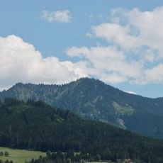
Mountainous terrain covers roughly two-thirds of the country and shapes how people live and work in higher elevations. Flatter areas offer different conditions that support various activities and ways of life.
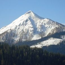
The Grossglockner reaches 3,798 meters and stands as the country's highest peak, often serving as a reference point in the Alpine region. This summit distinctly shapes how the eastern Alpine area appears.
The community of curious travelers
AroundUs brings together thousands of curated places, local tips, and hidden gems, enriched daily by 60,000 contributors worldwide.