
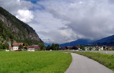
Pettnau, municipality in Innsbruck-Land District, Tyrol, Austria
Location: Innsbruck-Land District
Elevation above the sea: 628 m
Email: gemeinde@petrtnau.tirol.gv.at
Website: http://pettnau.at
GPS coordinates: 47.29194,11.16000
Latest update: March 7, 2025 20:44
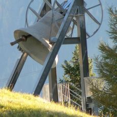
Friedensglocke des Alpenraumes
2.4 km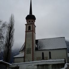
Pfarrkirche hl. Georg, Leiblfing
742 m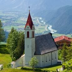
Filialkirche Mariä Heimsuchung, Mösern
2.4 km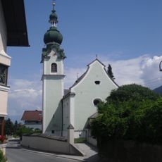
Kaplaneikirche hl. Rochus, Polling in Tirol
1.4 km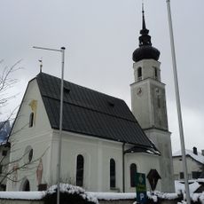
Filialkirche hl. Josef, Oberpettnau
1.7 km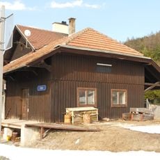
Bahnhof Reith
3.2 km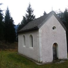
Einsiedel-Kapelle
1.2 km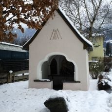
Marienkapelle, Dollfuß-Kapelle
64 m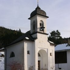
Mariahilfkapelle, Auland
3.5 km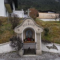
Herz Mariä-Kapelle
755 m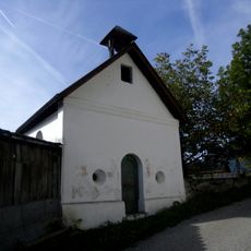
Kapelle zu den Vierzehn Nothelfern
2.8 km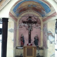
Fischerkapelle
1.1 km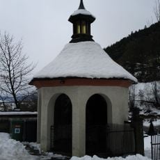
Friedhofskapelle, Kriegergedächtniskapelle
732 m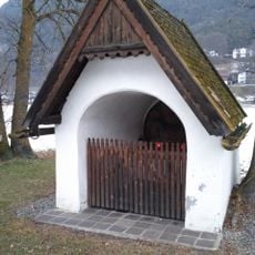
Wiesenkapelle
765 m
Brunnen mit Maria Immaculata
297 m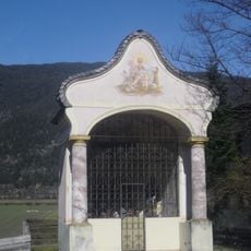
Kreuzkapelle
1.4 km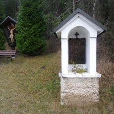
Stations of the Cross, Pettnau
1.5 km
Brunnen
1.6 km
Alte Römerbrücke
2.4 km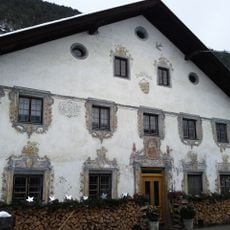
Bauernhof Köll, Beim Hugg
244 m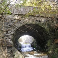
Alte Römerbrücke
2.4 km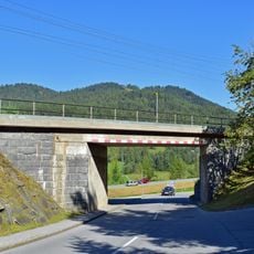
2 Brücken zw. Aufnahmsgebäude Reith u. Brücke Kaltwasserbad
3.3 km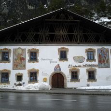
Gemeindeamt, ehem. Gasthof Baldauf
50 m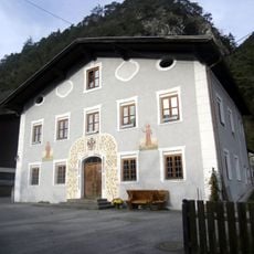
Wohnhaus, ehem. Tax'sches Posthaus
2.4 km
Wohnhaus, alter Widum
435 m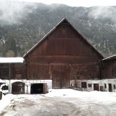
Wirtschaftsgebäude des Gasthofes Öttl
1.7 km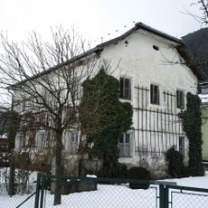
Widum
1.7 km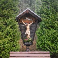
Wegkreuz
1.4 kmVisited this place? Tap the stars to rate it and share your experience / photos with the community! Try now! You can cancel it anytime.
Discover hidden gems everywhere you go!
From secret cafés to breathtaking viewpoints, skip the crowded tourist spots and find places that match your style. Our app makes it easy with voice search, smart filtering, route optimization, and insider tips from travelers worldwide. Download now for the complete mobile experience.

A unique approach to discovering new places❞
— Le Figaro
All the places worth exploring❞
— France Info
A tailor-made excursion in just a few clicks❞
— 20 Minutes