
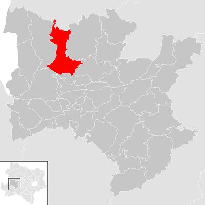
Münichreith-Laimbach, municipality in Melk District, Lower Austria, Austria
Location: Melk District
Elevation above the sea: 675 m
Shares border with: Gutenbrunn, Pöggstall, Artstetten-Pöbring, Maria Taferl, Marbach an der Donau, Hofamt Priel, Yspertal
Email: gemeinde@muenichreith-laimbach.gv.at
Website: http://muenichreith.at
GPS coordinates: 48.40000,15.30000
Latest update: March 3, 2025 03:00
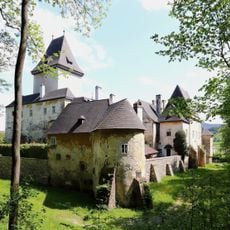
Schloss Pöggstall
11.8 km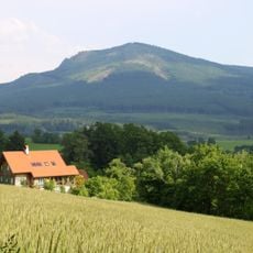
Grosser Peilstein
18.2 km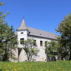
Schloss Arndorf
16 km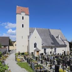
Pfarrkirche Neukirchen am Ostrong
16.1 km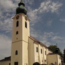
Pfarrkirche Altenmarkt im Yspertal
21.8 km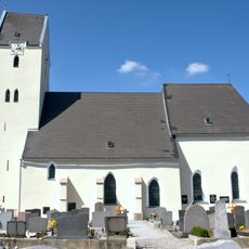
Pfarrkirche Münichreith am Ostrong
19.5 km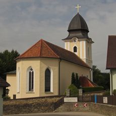
Pfarrkirche Laimbach am Ostrong
16.1 km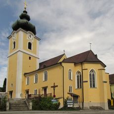
Kath. Pfarrkirche hl. Lorenz und ehem. Friedhof
21.7 km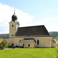
St. Petrus und Paulus
13.3 km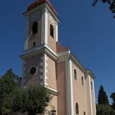
Pfarrkirche Pisching
19.1 km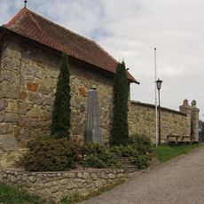
Friedhof Ysper
21.7 km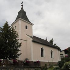
Ortskapelle Ulrichschlag
14.4 km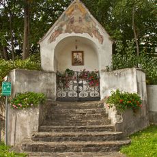
Dreifaltigkeitskapelle
12 km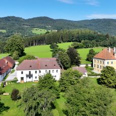
Schloss Rorregg
21.1 km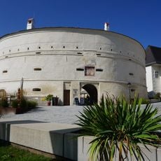
Barbacan in Pöggstall
11.8 km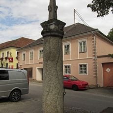
Pranger
21.7 km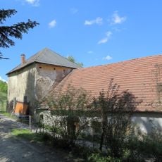
Kälberhof, westlicher Turm und östlich anschließender gemauerter Wohntrakt
15.6 km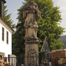
Nepomukstatue Altenmarkt im Yspertal
21.8 km
Bildstock mit Gnadenstuhl
16 km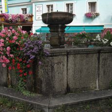
Ysper Brunnen
21.6 km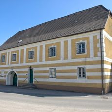
Pfarrhof Münichreith
19.5 km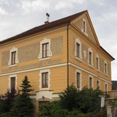
Pfarrhof
21.7 km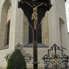
Kruzifix auf dem Kirchhof
21.8 km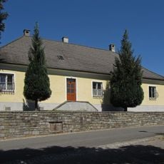
Pfarrhof
19 km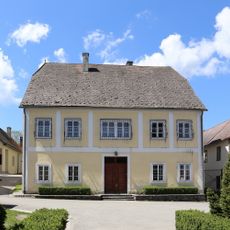
Pfarrhof
16.1 km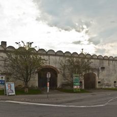
Meierhof mit Umfassungsmauer
12 km
Pfarrhof
11.9 km
Pfarrhof Altenmarkt im Yspertal
21.8 kmVisited this place? Tap the stars to rate it and share your experience / photos with the community! Try now! You can cancel it anytime.
Discover hidden gems everywhere you go!
From secret cafés to breathtaking viewpoints, skip the crowded tourist spots and find places that match your style. Our app makes it easy with voice search, smart filtering, route optimization, and insider tips from travelers worldwide. Download now for the complete mobile experience.

A unique approach to discovering new places❞
— Le Figaro
All the places worth exploring❞
— France Info
A tailor-made excursion in just a few clicks❞
— 20 Minutes