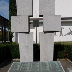
Altach, municipality in Feldkirch District, Vorarlberg, Austria
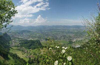
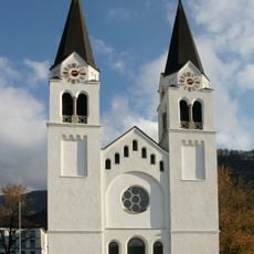
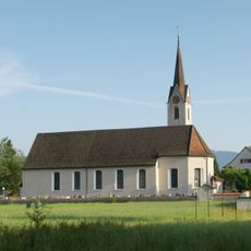
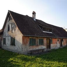
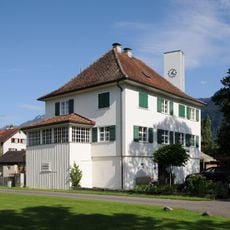
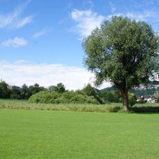
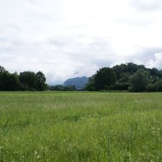
Altach is a rural municipality in the Feldkirch District of Vorarlberg, Austria, sitting in the Rhine Valley between Lake Constance and the city of Feldkirch. The village is made up mostly of residential buildings surrounded by farmland, meadows, and patches of forest on low-lying terrain.
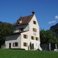
Altach grew from a small farming settlement in the Rhine Valley, shaped over centuries by agriculture and the rhythms of rural life in the Vorarlberg region. In the 20th century, like many nearby villages, it gradually became a residential community with closer ties to the urban center of Feldkirch.
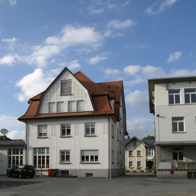
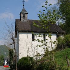
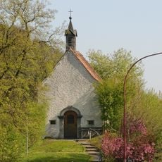
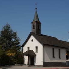
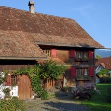
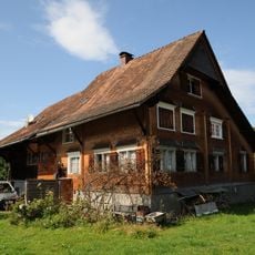
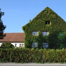
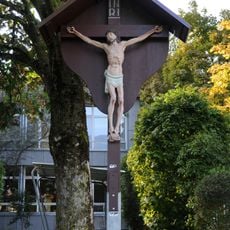
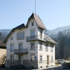
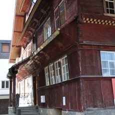
Altach sits in the Rhine Valley, and its community life often revolves around outdoor gatherings tied to the agricultural calendar. The local building style follows the Vorarlberg tradition, with wood-heavy facades and low-pitched roofs that give the village a coherent look visitors notice right away.
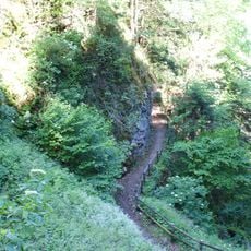
For everyday needs like shopping or dining, the nearby city of Feldkirch is a short ride away and offers a wider range of services. Walking paths into the surrounding hills and farmland start directly from the village and are easy to follow without special gear.
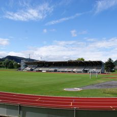
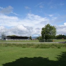
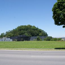
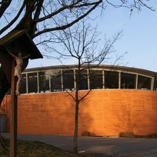
Altach is home to SC Rheindorf Altach, a football club that plays in Austria's top division despite the small size of the village. The club's stadium sits right in the middle of the village, making it an unexpected sight for anyone passing through.
The community of curious travelers
AroundUs brings together thousands of curated places, local tips, and hidden gems, enriched daily by 60,000 contributors worldwide.