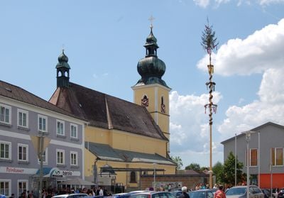
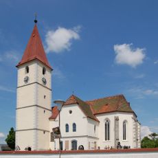
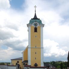
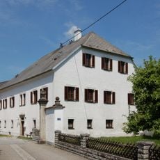
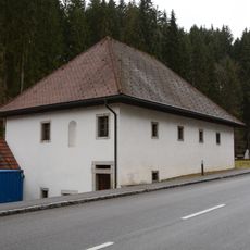
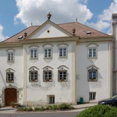
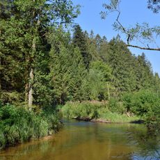
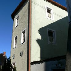
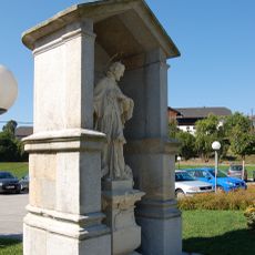
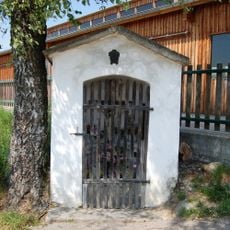
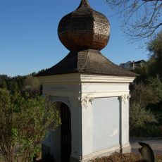
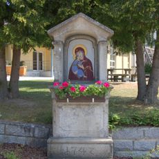
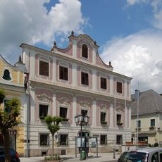
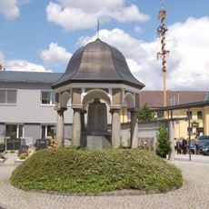
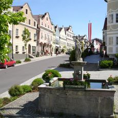
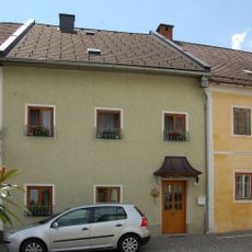
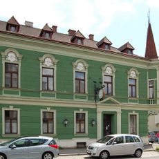
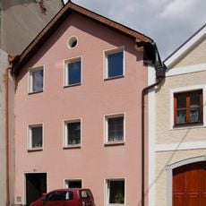
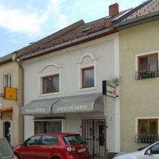
Altenfelden, municipality in Rohrbach District, Upper Austria, Austria
Location: Rohrbach District
Elevation above the sea: 598 m
Shares border with: Arnreit, Neufelden, Kleinzell im Mühlkreis, Kirchberg ob der Donau, Niederkappel, Lembach im Mühlkreis, Hörbich
Email: gemeindeamt@altenfelden.at
Website: http://altenfelden.at
GPS coordinates: 48.48611,13.96889
Latest update: March 2, 2025 23:29
Schallenberg Castle
1.8 km
Burg Pürnstein
3.7 km
Gneisenau Castle
3.6 km
Burg Blankenberg
2.9 km
Maria Poetsch
3.1 km
Tannberg Castle
2.8 km
Marktplatz 2-4
2.3 km
Saint Sixtus church in Altenfelden
109 m
Saint Lawrence church in Kleinzell
3.7 km
Burgruine Steinerberg
3.7 km
Saint Philippus and Jacobus in Neufelden
2.4 km
Schloss Blumau
1 km
Parochial House Kleinzell
3.7 km
Höglmühle
4 km
Markt 38
2.3 km
Mühltal
2.7 km
Heimatmuseum, ehem. Gefängnis
2.2 km
Johannes-Nepomuk-Kapelle
3.8 km
Maria-Trost-Kapelle
4 km
Arme-Sünder-Kapelle (Neufelden)
2.3 km
Holly-Kapelle
3.7 km
Markt 22
2.3 km
Kriegerdenkmal Altenfelden
98 m
Marktbrunnen
2.3 km
Kirchengasse 8
2.4 km
Markt 21
2.3 km
Kirchengasse 5
2.3 km
Kirchengasse 10
2.4 kmReviews
Visited this place? Tap the stars to rate it and share your experience / photos with the community! Try now! You can cancel it anytime.
Discover hidden gems everywhere you go!
From secret cafés to breathtaking viewpoints, skip the crowded tourist spots and find places that match your style. Our app makes it easy with voice search, smart filtering, route optimization, and insider tips from travelers worldwide. Download now for the complete mobile experience.
A unique approach to discovering new places❞
— Le Figaro
All the places worth exploring❞
— France Info
A tailor-made excursion in just a few clicks❞
— 20 Minutes