
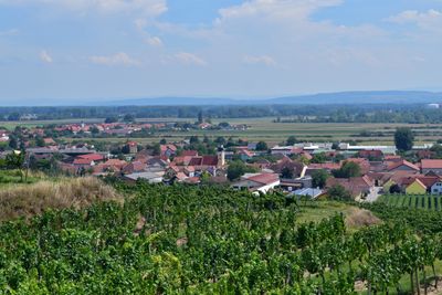
Gedersdorf, municipality in Krems District, Lower Austria, Austria
Location: Krems(Land) District
Elevation above the sea: 194 m
Shares border with: Langenlois, Grafenegg, Grafenwörth, Traismauer, Krems, Rohrendorf bei Krems
Email: gemeindeamt@gedersdorf.at
Website: http://gedersdorf.at
GPS coordinates: 48.43361,15.68722
Latest update: March 2, 2025 23:24

Traismauer Danube motorway bridge
6.2 km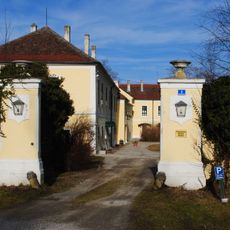
Schloss Walkersdorf
3.6 km
Schloss Hollenburg
6 km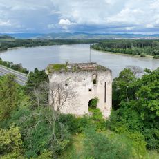
Burgruine Bertholdstein
6 km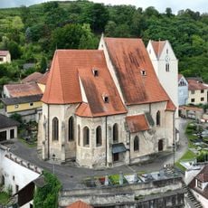
Pfarrkirche Hollenburg
6 km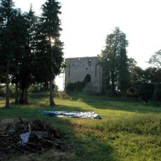
Burgus Hollenburg
6 km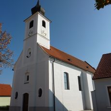
Saint James the Greater Church
1.1 km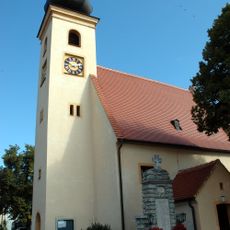
Filialkirche Gedersdorf
29 m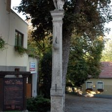
Pranger
6 km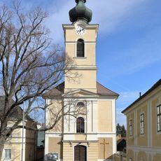
Kath. Pfarrkirche Mariae Empfängnis
3.9 km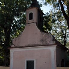
Kapelle hl. Sebastian in Neuweidling
2.6 km
Ortskapelle hl. Johannes der Täufer
3.6 km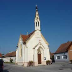
Saint Anthony of Padua Chapel
3.6 km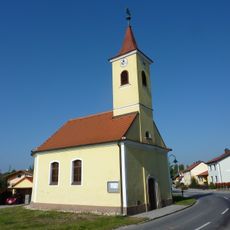
Ortskapelle
1.9 km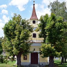
Ortskapelle Hl. Dreifaltigkeit
3.6 km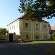
Pfarrhof
3.9 km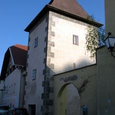
Altes Rathaus
6.1 km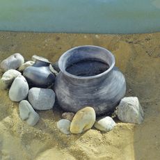
Find spot Bahnhof Hadersdorf am Kamp
2.5 km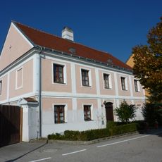
Pfarrhof
1.1 km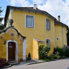
Gutshof Sittendorf 17, Grafenegg
3.8 km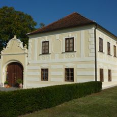
Gutshof/Meierhof , Stadel und Einfriedung
1.7 km
Gartenpavillon
5.9 km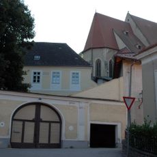
Pfarrhof
6 km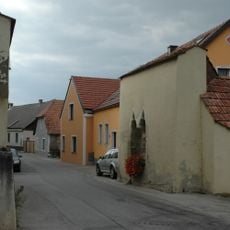
Ehem. Markttor
6 km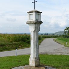
Bildstock
3.5 km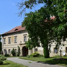
Pfarrhof Haitzendorf
4 km
Pfarrhof und Wirtschaftsgebäude
4 km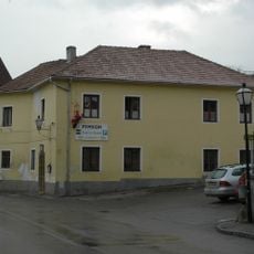
Ehem. Lesehof
6 kmReviews
Visited this place? Tap the stars to rate it and share your experience / photos with the community! Try now! You can cancel it anytime.
Discover hidden gems everywhere you go!
From secret cafés to breathtaking viewpoints, skip the crowded tourist spots and find places that match your style. Our app makes it easy with voice search, smart filtering, route optimization, and insider tips from travelers worldwide. Download now for the complete mobile experience.

A unique approach to discovering new places❞
— Le Figaro
All the places worth exploring❞
— France Info
A tailor-made excursion in just a few clicks❞
— 20 Minutes